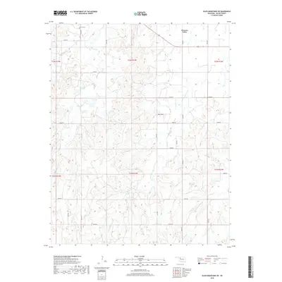
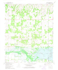
2018 Map of Glass Mountains SW
USGS Topo · Published 2018About this map
Cheyenne Valley defines the northern reaches of this landscape in Major County, where the plains begin to ripple with dramatic elevation changes. The terrain is marked by the prominent height of Tepee Mtn and the intricate drainage patterns of Cheyenne Creek, Barney Creek, and its western branch, W Br Barney Creek. These waterways and their associated canyons reveal a land deeply carved by erosion, a characteristic of the Glass Mountains region.
Find a feature on this map
32 named features on this map. Tap any name to fly to it.
Don’t see what you’re looking for? This feature index may not catch every label — zoom into the map to look around manually.
Map Details
Editions of this 2018 Glass Mountains SW Map
This is the sole edition of this map. No revisions or reprints were ever made.
Other maps of this area

1955 · Woodward
USGS Topo · 1:250,000

1958 · Woodward
USGS Topo · 1:250,000
1969 · Phroso
USGS Topo · 1:24,000
1969 · Glass Mountains NW
USGS Topo · 1:24,000
1969 · Glass Mountains
USGS Topo · 1:24,000
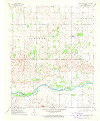
1969 · Glass Mountains NE
USGS Topo · 1:24,000
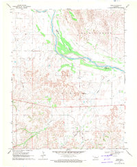
1969 · Togo
USGS Topo · 1:24,000
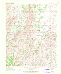
1969 · Glass Mountains SW
USGS Topo · 1:24,000
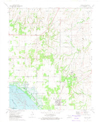
1972 · Longdale
USGS Topo · 1:24,000
1972 · Canton NW
USGS Topo · 1:24,000