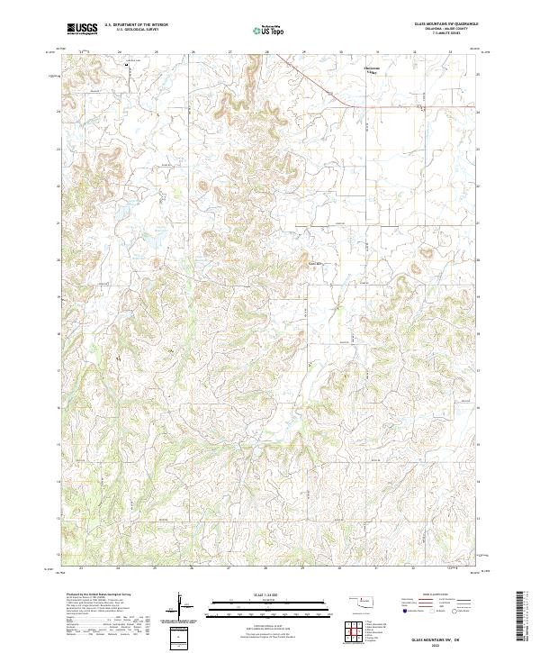
2022 Map of Glass Mountains SW
USGS Topo · Published 2022About this map
Cheyenne Valley serves as the focal point of this western Oklahoma landscape, where the terrain is defined by a network of drainage systems and isolated peaks. The prominent Tepee Mtn rises above the surrounding plains, while the upper reaches of Barney Cr, including its W Br Barney Cr, and Cheyenne Cr carve paths through the section lines. The rural infrastructure is characterized by a series of engineered water bodies, such as 093008 Reservoir and 093012 Reservoir, reflecting the region's reliance on managed water resources for agriculture and ranching.
Find a feature on this map
32 named features on this map. Tap any name to fly to it.
Don’t see what you’re looking for? This feature index may not catch every label — zoom into the map to look around manually.
Map Details
Editions of this 2022 Glass Mountains SW Map
This is the sole edition of this map. No revisions or reprints were ever made.
Other maps of this area

1955 · Woodward
USGS Topo · 1:250,000

1958 · Woodward
USGS Topo · 1:250,000

1969 · Phroso
USGS Topo · 1:24,000

1969 · Glass Mountains NW
USGS Topo · 1:24,000

1969 · Glass Mountains
USGS Topo · 1:24,000

1969 · Glass Mountains NE
USGS Topo · 1:24,000

1969 · Togo
USGS Topo · 1:24,000

1969 · Glass Mountains SW
USGS Topo · 1:24,000

1972 · Longdale
USGS Topo · 1:24,000

1972 · Canton NW
USGS Topo · 1:24,000