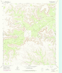
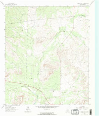
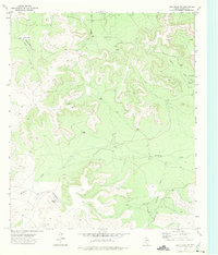
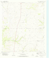
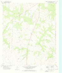
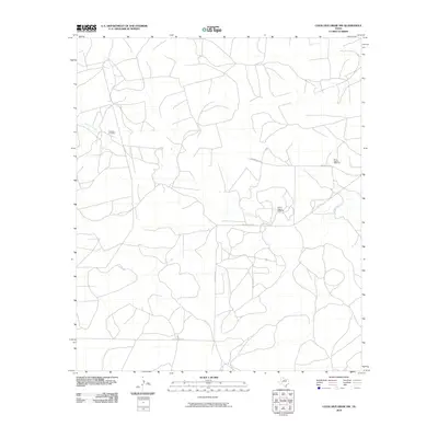
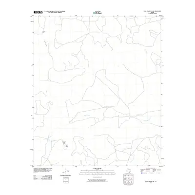
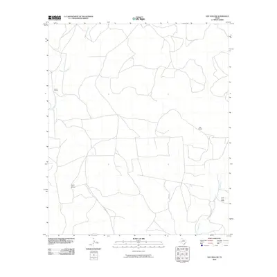
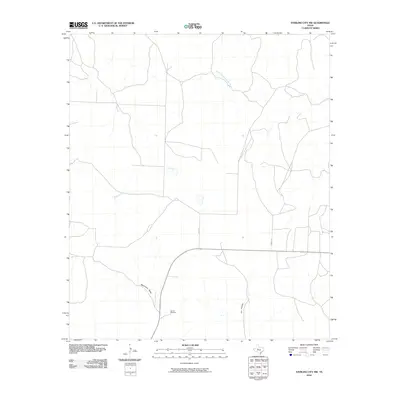
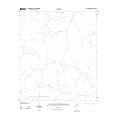
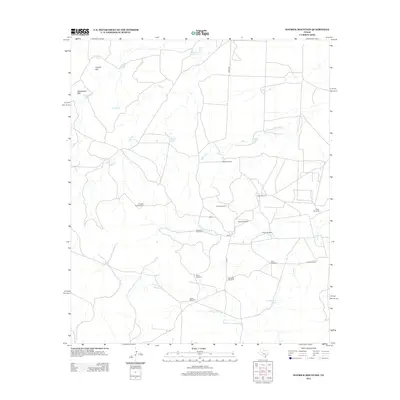
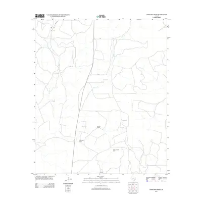
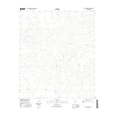
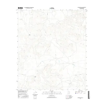
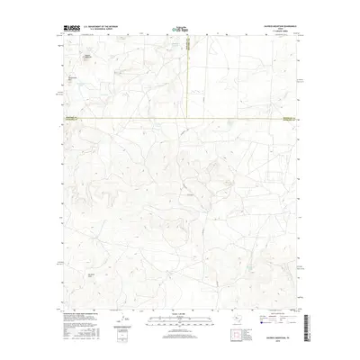
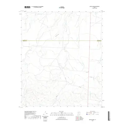
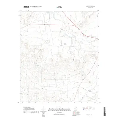
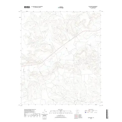
1963 Map of Glass Ranch
USGS Topo · Published 1978About this map
West Texas ranching and petroleum interests define this landscape in Sterling County, where the Herrell Oil Field and Parochial Bade Oil Field indicate the industrial expansion occurring into the 1960s and 1970s. The terrain is deeply incised by the drainage networks of Lacy Creek and Bobs Creek, creating a complex series of plateaus and draws that dictate the placement of ranch headquarters and infrastructure. Isolated outposts such as Bobs Creek Ranch, Glass Ranch, and Shack Ranch are connected by a network of dirt roads and pipelines, illustrating the sparse but organized settlement pattern of this semi-arid region. The presence of a Radio Tower and various quarries alongside these larger ranching operations highlights a multi-use landscape where traditional livestock raising met modern energy extraction and communication needs.
Find a feature on this map
14 named features on this map. Tap any name to fly to it.
Don’t see what you’re looking for? This feature index may not catch every label — zoom into the map to look around manually.
Map Details
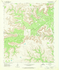
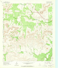
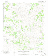
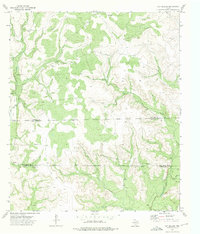
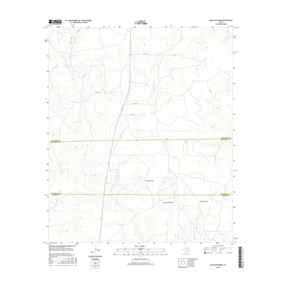
Editions of this 1963 Glass Ranch Map
2 editions found
Historical Maps of Sterling County Through Time
84 maps found
1959 McWhorter Mountain
Sterling County, TX
1963 Buffalo Draw
Sterling County, TX
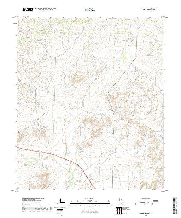
1963 Cumbie Draw NE
Sterling County, TX
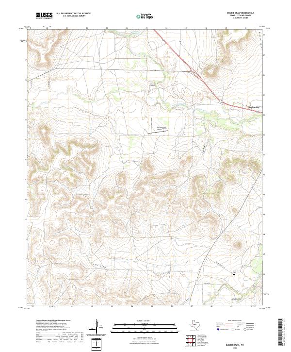
1963 Cumbie Draw
Sterling County, TX
1963 Glass Ranch
Sterling County, TX
1963 Hayrick Mountain
Sterling County, TX
1963 Sand Bluff Draw
Sterling County, TX
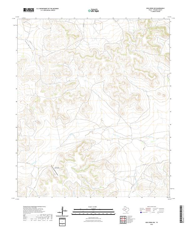
1972 Dog Creek NW
Sterling County, TX
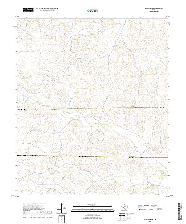
1972 Dog Creek SW
Sterling County, TX
1972 Sterling City NW
Sterling County, TX
1973 Coon Dive Draw NW
Sterling County, TX
1973 Coon Dive Draw
Sterling County, TX
1973 Dripping Springs Draw
Sterling County, TX
1973 Hay Hollow
Sterling County, TX
2010 Buffalo Draw
Sterling County, TX
2010 Coon Dive Draw NW
Sterling County, TX
2010 Coon Dive Draw
Sterling County, TX
2010 Cumbie Draw NE
Sterling County, TX
2010 Cumbie Draw
Sterling County, TX
2010 Dog Creek NW
Sterling County, TX
2010 Dog Creek SW
Sterling County, TX
2010 Dripping Springs Draw
Sterling County, TX
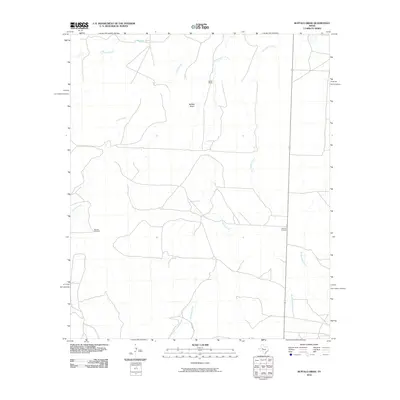
2010 Glass Ranch
Sterling County, TX
2010 Hay Hollow
Sterling County, TX
2010 Hayrick Mountain
Sterling County, TX
2010 McWhorter Mountain
Sterling County, TX
2010 Sand Bluff Draw
Sterling County, TX
2010 Sterling City NW
Sterling County, TX
2012 Buffalo Draw
Sterling County, TX
2012 Coon Dive Draw NW
Sterling County, TX
2012 Dog Creek NW
Sterling County, TX
2012 Dog Creek SW
Sterling County, TX
2012 Dripping Springs Draw
Sterling County, TX
2012 Glass Ranch
Sterling County, TX
2012 Hay Hollow
Sterling County, TX
2012 Hayrick Mountain
Sterling County, TX
2012 McWhorter Mountain
Sterling County, TX
2012 Sand Bluff Draw
Sterling County, TX
2012 Sterling City NW
Sterling County, TX
2013 Coon Dive Draw
Sterling County, TX
2013 Cumbie Draw NE
Sterling County, TX
2013 Cumbie Draw
Sterling County, TX
2016 Buffalo Draw
Sterling County, TX
2016 Coon Dive Draw NW
Sterling County, TX
2016 Coon Dive Draw
Sterling County, TX
2016 Cumbie Draw NE
Sterling County, TX
2016 Cumbie Draw
Sterling County, TX
2016 Dog Creek NW
Sterling County, TX
2016 Dog Creek SW
Sterling County, TX
2016 Dripping Springs Draw
Sterling County, TX

2016 Glass Ranch
Sterling County, TX
2016 Hay Hollow
Sterling County, TX
2016 Hayrick Mountain
Sterling County, TX
2016 McWhorter Mountain
Sterling County, TX
2016 Sand Bluff Draw
Sterling County, TX
2016 Sterling City NW
Sterling County, TX
2019 Buffalo Draw
Sterling County, TX
2019 Coon Dive Draw NW
Sterling County, TX
2019 Coon Dive Draw
Sterling County, TX
2019 Cumbie Draw NE
Sterling County, TX
2019 Cumbie Draw
Sterling County, TX
2019 Dog Creek NW
Sterling County, TX
2019 Dog Creek SW
Sterling County, TX
2019 Dripping Springs Draw
Sterling County, TX
2019 Glass Ranch
Sterling County, TX
2019 Hay Hollow
Sterling County, TX
2019 Hayrick Mountain
Sterling County, TX
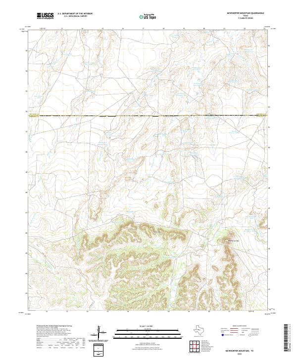
2019 McWhorter Mountain
Sterling County, TX
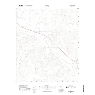
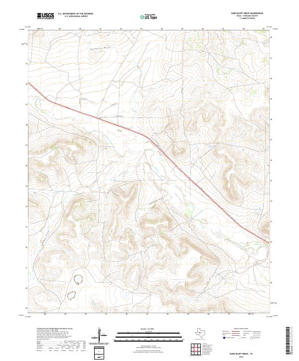
2019 Sand Bluff Draw
Sterling County, TX

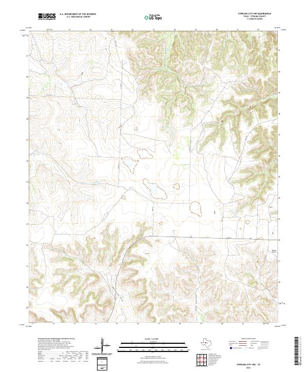
2019 Sterling City NW
Sterling County, TX
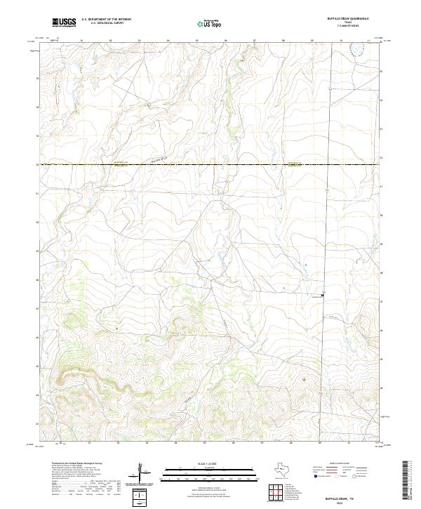
2022 Buffalo Draw
Sterling County, TX
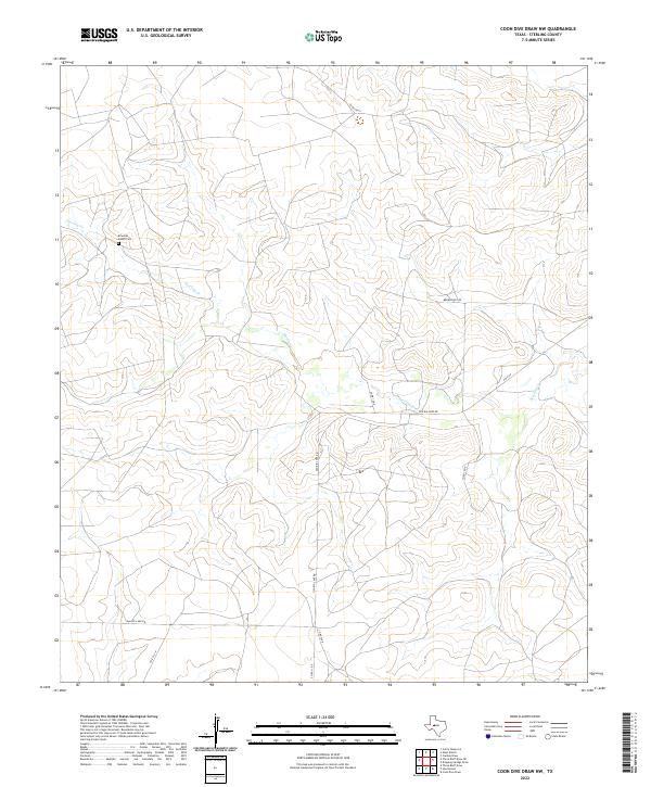
2022 Coon Dive Draw NW
Sterling County, TX
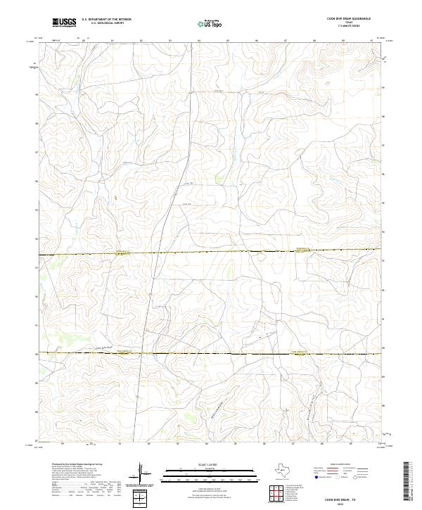
2022 Coon Dive Draw
Sterling County, TX
2022 Cumbie Draw NE
Sterling County, TX
2022 Cumbie Draw
Sterling County, TX
2022 Dog Creek NW
Sterling County, TX
2022 Dog Creek SW
Sterling County, TX
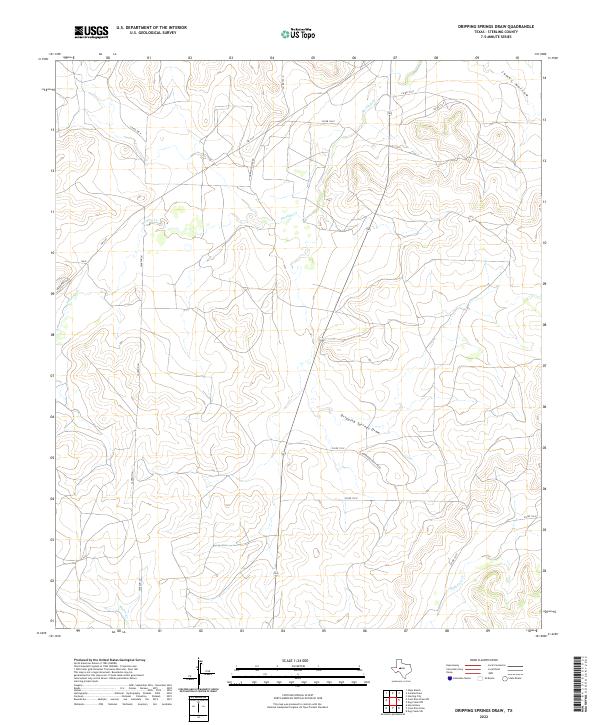
2022 Dripping Springs Draw
Sterling County, TX
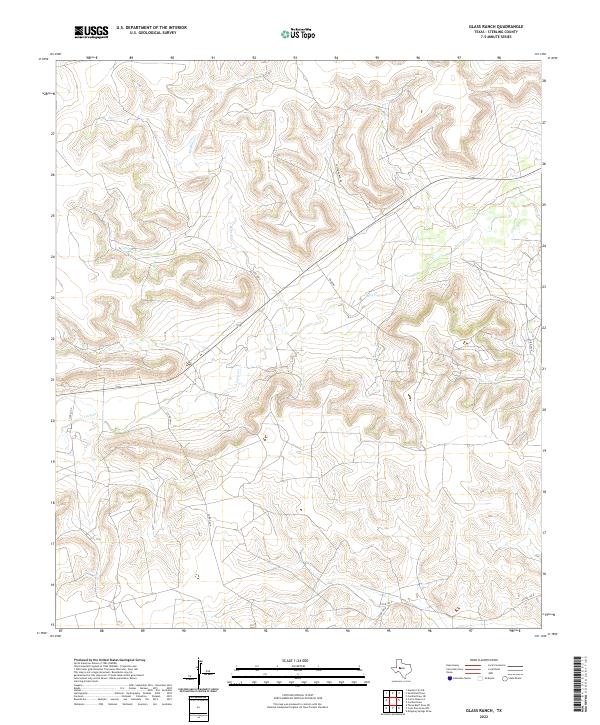
2022 Glass Ranch
Sterling County, TX
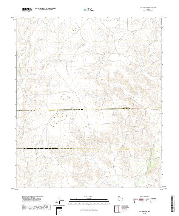
2022 Hay Hollow
Sterling County, TX
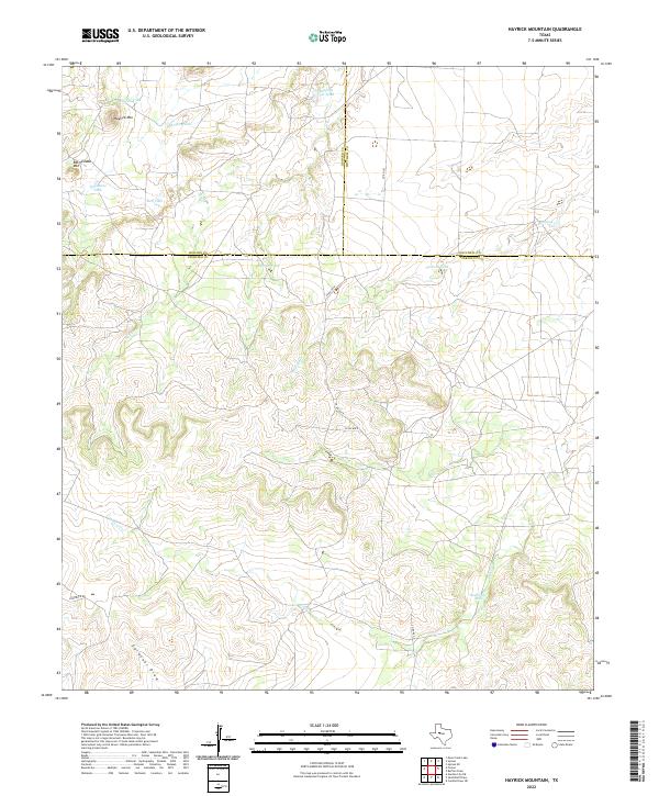
2022 Hayrick Mountain
Sterling County, TX
2022 McWhorter Mountain
Sterling County, TX
2022 Sand Bluff Draw
Sterling County, TX
2022 Sterling City NW
Sterling County, TX