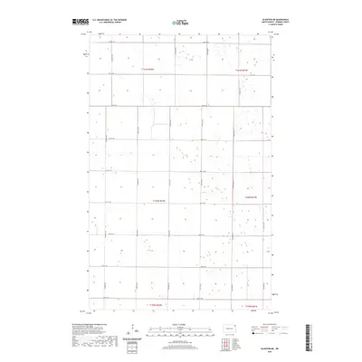
2020 Map of Glasston NE
USGS Topo · Published 2020About this map
The Red River Valley's agricultural geometry dominates this portion of Pembina County, defined by a rigid system of section lines and gravel section roads. The landscape is organized into distinct townships including t161n r52w and t160n r51w, where the flat terrain is punctuated by numerous small depressions and wetlands. These natural features, documented by the US Fish and Wildlife Service, break the otherwise perfect symmetry of the cultivated fields. A dense network of local roads, such as 92nd St NE and 154th Ave Ne, provides a detailed look at the rural infrastructure supporting the region's farms. This survey offers a precise record of the land-use patterns and hydrological features in the northeastern corner of North Dakota during the early twenty-first century.
Find a feature on this map
21 named features on this map. Tap any name to fly to it.
Don’t see what you’re looking for? This feature index may not catch every label — zoom into the map to look around manually.
Map Details
Editions of this 2020 Glasston NE Map
This is the sole edition of this map. No revisions or reprints were ever made.
Other maps of this area

1939 · Drayton
USGS Topo · 1:62,500

1939 · Glasston
USGS Topo · 1:62,500

1939 · Pembina
USGS Topo · 1:62,500

1941 · Drayton
USGS Topo · 1:62,500

1941 · Glasston
USGS Topo · 1:62,500

1941 · Bathgate
USGS Topo · 1:62,500

1941 · Pembina
USGS Topo · 1:62,500

1952 · Thief River Falls
USGS Topo · 1:250,000

1956 · Thief River Falls
USGS Topo · 1:250,000

1957 · Thief River Falls
USGS Topo · 1:250,000