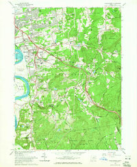
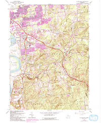
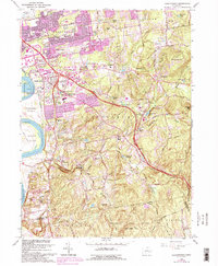
1964 Map of Glastonbury
USGS Topo · Published 1965About this map
The Connecticut River forms the western boundary of this mid-century portrait, where the expanding suburbs of East Hartford Gardens and Welles Village meet the more varied topography of the eastern uplands. This era captures the transition from the dense industrial and aviation landscape around Rentschler Airport to the established villages of Glastonbury and South Glastonbury. The landscape is heavily marked by institutional and community markers, including a high concentration of cemeteries such as Glastonbury Green Cem and Old Church Cem, alongside several local schools like Academy Jr High Sch and Buttonball Sch.
Find a feature on this map
93 named features on this map. Tap any name to fly to it.
Don’t see what you’re looking for? This feature index may not catch every label — zoom into the map to look around manually.
Map Details
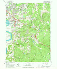
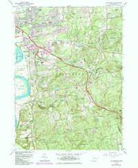
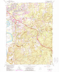
Editions of this 1964 Glastonbury Map
6 editions found
Other maps of this area

1892 · Hartford
USGS Topo · 1:62,500

1892 · Tolland
USGS Topo · 1:62,500

1892 · Gilead
USGS Topo · 1:62,500

1893 · Middletown
USGS Topo · 1:62,500

1906 · Farmington
USGS Topo · 1:125,000

1921 · Tolland
USGS Topo · 1:62,500

1928 · Cromwell
USGS Topo · 1:24,000

1928 · Windsor
USGS Topo · 1:24,000

1928 · Glastonbury
USGS Topo · 1:24,000

1928 · Manchester
USGS Topo · 1:24,000