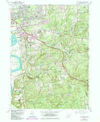
1964 Map of Glastonbury
USGS Topo · Published 1984About this map
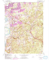
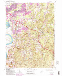
The Connecticut River flows along the western edge of this landscape, defining the rich alluvial Glastonbury Meadows before the terrain rises sharply into the wooded heights of the Meshomasic State Forest. During this era of mid-century suburban expansion, established residential pockets like Forbes Village and Welles Village sit in close proximity to major infrastructure like Rentschler Airport. The map documents a transition from the industrial and agricultural past to modern transit, shown by the arrival of Interstate 86 and Interstate 91. Local history is preserved in a dense network of burial grounds including Glastonbury Green Cem and the Old Eastbury Cem, while the interior remains defined by rugged peaks such as Minnechaug Mtn and Kongscut Mtn.
Find a feature on this map
79 named features on this map. Tap any name to fly to it.
Don’t see what you’re looking for? This feature index may not catch every label — zoom into the map to look around manually.
Map Details
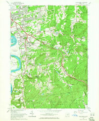
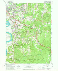
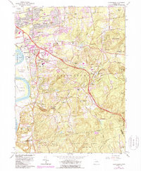
Editions of this 1964 Glastonbury Map
6 editions found
Other maps of this area

1892 · Hartford
USGS Topo · 1:62,500

1892 · Tolland
USGS Topo · 1:62,500

1892 · Gilead
USGS Topo · 1:62,500

1893 · Middletown
USGS Topo · 1:62,500

1906 · Farmington
USGS Topo · 1:125,000

1921 · Tolland
USGS Topo · 1:62,500

1928 · Cromwell
USGS Topo · 1:24,000

1928 · Windsor
USGS Topo · 1:24,000

1928 · Glastonbury
USGS Topo · 1:24,000

1928 · Manchester
USGS Topo · 1:24,000