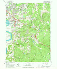
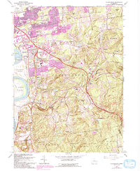
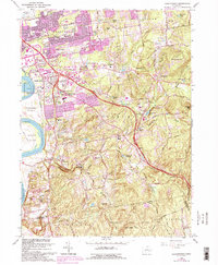
1964 Map of Glastonbury
USGS Topo · Published 1974About this map
Glastonbury and its neighboring villages are captured here in a period of suburban expansion alongside deeply rooted agricultural and industrial sites. The settlement pattern shows a dense cluster of local institutions, from the Academy Jr High Sch and Town Hall to numerous historic burial grounds like Glastonbury Green Cem and Old Church Cem. The landscape is defined by the broad Connecticut River and its accompanying Glastonbury Meadows, contrasted with the wooded, rising elevations of Minnechaug Mtn and Kongscut Mtn to the east.
Find a feature on this map
99 named features on this map. Tap any name to fly to it.
Don’t see what you’re looking for? This feature index may not catch every label — zoom into the map to look around manually.
Map Details
Editions of this 1964 Glastonbury Map
6 editions found
Other maps of this area

1892 · Hartford
USGS Topo · 1:62,500

1892 · Tolland
USGS Topo · 1:62,500

1892 · Gilead
USGS Topo · 1:62,500

1893 · Middletown
USGS Topo · 1:62,500

1906 · Farmington
USGS Topo · 1:125,000

1921 · Tolland
USGS Topo · 1:62,500

1928 · Cromwell
USGS Topo · 1:24,000

1928 · Windsor
USGS Topo · 1:24,000

1928 · Glastonbury
USGS Topo · 1:24,000

1928 · Manchester
USGS Topo · 1:24,000