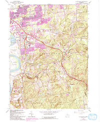
1964 Map of Glastonbury
USGS Topo · Published 1992About this map
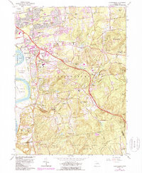
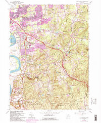
The Connecticut River forms the western boundary of this landscape, where the fertile Glastonbury Meadows transition into the growing suburban corridors of Glastonbury and East Hartford Gardens. Mid-century development is evident in the dense residential clusters of Welles Village and Forbes Village, while the eastern terrain remains dominated by the heavy woodland of the Meshomasic State Forest.
Find a feature on this map
77 named features on this map. Tap any name to fly to it.
Don’t see what you’re looking for? This feature index may not catch every label — zoom into the map to look around manually.
Map Details
Editions of this 1964 Glastonbury Map
6 editions found
Other maps of this area

1892 · Hartford
USGS Topo · 1:62,500

1892 · Tolland
USGS Topo · 1:62,500

1892 · Gilead
USGS Topo · 1:62,500

1893 · Middletown
USGS Topo · 1:62,500

1906 · Farmington
USGS Topo · 1:125,000

1921 · Tolland
USGS Topo · 1:62,500

1928 · Cromwell
USGS Topo · 1:24,000

1928 · Windsor
USGS Topo · 1:24,000

1928 · Glastonbury
USGS Topo · 1:24,000

1928 · Manchester
USGS Topo · 1:24,000