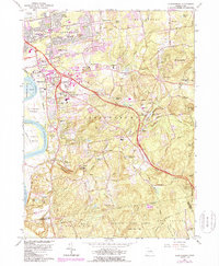
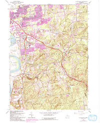
1964 Map of Glastonbury
USGS Topo · Published 1988About this map
Rentschler Airport anchors the northwest corner of this Connecticut landscape, showing the mid-century industrial and residential expansion into the hills east of the Connecticut River. The geography transitions from the flat Glastonbury Meadows and Keeney Cove through bustling villages like Welles Village and East Hartford Gardens, climbing into the significant elevations of Minnechaug Mtn and Kongscut Mtn.
Find a feature on this map
108 named features on this map. Tap any name to fly to it.
Don’t see what you’re looking for? This feature index may not catch every label — zoom into the map to look around manually.
Map Details
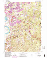
Editions of this 1964 Glastonbury Map
6 editions found
Other maps of this area

1892 · Hartford
USGS Topo · 1:62,500

1892 · Tolland
USGS Topo · 1:62,500

1892 · Gilead
USGS Topo · 1:62,500

1893 · Middletown
USGS Topo · 1:62,500

1906 · Farmington
USGS Topo · 1:125,000

1921 · Tolland
USGS Topo · 1:62,500

1928 · Cromwell
USGS Topo · 1:24,000

1928 · Windsor
USGS Topo · 1:24,000

1928 · Glastonbury
USGS Topo · 1:24,000

1928 · Manchester
USGS Topo · 1:24,000