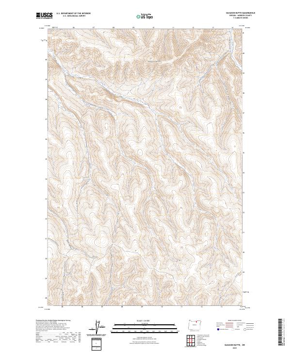
2023 Map of Gleason Butte
USGS Topo · Published 2023About this map
Gleason Butte rises as a prominent landmark in this portion of Morrow County, where the high desert landscape is deeply incised by a network of seasonal drainages. The drainage pattern is dominated by the west-to-east path of Milk Canyon and the northern flow of Little Butter Creek along the eastern margin. Human impact is primarily visible through a sparse network of rural routes, including Co Rd 735 and Kenny Rd, which navigate the plateaus and canyon floors. The presence of Robinson Reservoir suggests the importance of water management for local land use in this arid region. The terrain is further characterized by dramatic coulees like Johnson Canyon and Sand Hollow, reflecting a landscape shaped by geological erosion and long-term ranching or agricultural adaptation.
Find a feature on this map
17 named features on this map. Tap any name to fly to it.
Don’t see what you’re looking for? This feature index may not catch every label — zoom into the map to look around manually.
Map Details
Editions of this 2023 Gleason Butte Map
This is the sole edition of this map. No revisions or reprints were ever made.
Other maps of this area

1906 · Blalock Island
USGS Topo · 1:125,000

1908 · Blalock Island
USGS Topo · 1:125,000

1908 · Umatilla
USGS Topo · 1:125,000

1953 · Pendleton
USGS Topo · 1:250,000

1956 · Pendleton
USGS Topo · 1:250,000

1967 · Freezeout Ridge
USGS Topo · 1:24,000

1968 · Swaggart Buttes
USGS Topo · 1:24,000

1968 · Lena
USGS Topo · 1:24,000

1968 · Gleason Butte
USGS Topo · 1:24,000

1968 · Vey Ranch
USGS Topo · 1:24,000