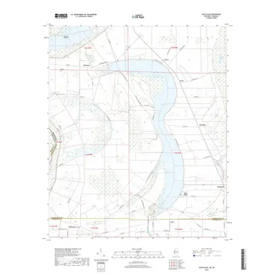
2018 Map of Glen Allan
USGS Topo · Published 2018About this map
The Mississippi River meanders along the northwestern edge of this survey, where it defines the complex border between Mississippi and Arkansas at Kentucky Bend Bar. The landscape is dominated by the crescent-shaped Lake Washington, an oxbow lake that anchors several small communities and agricultural settlements. Along its eastern and northern shores, the towns of Glen Allan, Foote, and Erwin illustrate a settlement pattern dictated by the fertile alluvial plains of the Delta. This area is crisscrossed by local roads like Westside Lake Washington Rd and Highland Rd, which connect the scattered homesteads and landings.
Find a feature on this map
61 named features on this map. Tap any name to fly to it.
Don’t see what you’re looking for? This feature index may not catch every label — zoom into the map to look around manually.
Map Details
Editions of this 2018 Glen Allan Map
This is the sole edition of this map. No revisions or reprints were ever made.
Other maps of this area

1909 · Wilsons Point
USGS Topo · 1:24,000

1909 · Millikin
USGS Topo · 1:24,000

1913 · Wilson Point
USGS Topo · 1:31,680

1939 · Lorenzen
USGS Topo · 1:62,500

1939 · Readland
USGS Topo · 1:62,500

1939 · Mayersville
USGS Topo · 1:62,500

1939 · Swan Lake
USGS Topo · 1:62,500

1953 · Greenwood
USGS Topo · 1:250,000

1955 · Jackson
USGS Topo · 1:250,000

1956 · Greenwood
USGS Topo · 1:250,000