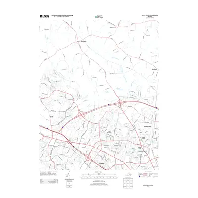
2013 Map of Glen Allen
USGS Topo · Published 2013About this map
Chickahominy River drainage and the expanding residential corridors of Henrico and Hanover Counties characterize this 2013 survey. The landscape transitions from the dense suburban developments of Wyndham, Bridlewood, and Shady Grove in the southwest toward the more rural terrain of Farrington and Lanes Corner in the north. Notable local landmarks include the Virginia Home for Boys and Hanover Academy, alongside historic community focal points like Winns Church. The map details an intricate network of modern infrastructure and natural waterways, where Hungary Cr and Deep Run meander through established neighborhoods such as Laurel Village and English Hills. This edition provides a high-resolution view of the area's development, documenting the proximity of newer subdivisions to older settlements like Erin Shades and West Jenningsville.
Find a feature on this map
209 named features on this map. Tap any name to fly to it.
Don’t see what you’re looking for? This feature index may not catch every label — zoom into the map to look around manually.
Map Details
Editions of this 2013 Glen Allen Map
This is the sole edition of this map. No revisions or reprints were ever made.
Other maps of this area

1890 · Goochland
USGS Topo · 1:125,000

1892 · Goochland
USGS Topo · 1:125,000

1894 · Richmond
USGS Topo · 1:62,500

1895 · Richmond
USGS Topo · 1:62,500

1918 · Doswell
USGS Topo · 1:62,500

1934 · Richmond
USGS Topo · 1:24,000

1936 · Richmond West
USGS Topo · 1:24,000

1936 · Glen Allen
USGS Topo · 1:24,000

1938 · Yellow Tavern
USGS Topo · 1:31,680

1939 · Richmond
USGS Topo · 1:31,680