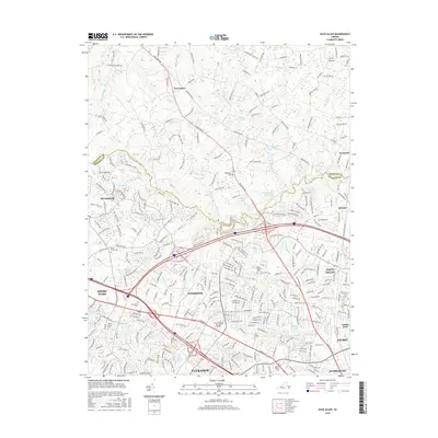
2016 Map of Glen Allen
USGS Topo · Published 2016About this map
Innsbrook and the surrounding suburban corridors of Henrico County show a densely developed landscape at the edge of the Chickahominy River. This 2016 survey highlights the rapid transformation of the Richmond area, where major commercial arteries like W Broad St and Mountain Rd connect established neighborhoods with newer residential developments like Wyndham. The map provides a detailed look at local genealogy markers, including Winns Cem and Roselawn Cem, which remain tucked between expanding road networks and modern institutional landmarks like the Univ of Phoenix - Richmond Campus. The drainage patterns of Grassy Swamp Cr and Deep Run still influence the layout of communities from Short Pump to Glen Allen, revealing how the natural topography dictates modern infrastructure.
Find a feature on this map
48 named features on this map. Tap any name to fly to it.
Don’t see what you’re looking for? This feature index may not catch every label — zoom into the map to look around manually.
Map Details
Editions of this 2016 Glen Allen Map
This is the sole edition of this map. No revisions or reprints were ever made.
Other maps of this area

1890 · Goochland
USGS Topo · 1:125,000

1892 · Goochland
USGS Topo · 1:125,000

1894 · Richmond
USGS Topo · 1:62,500

1895 · Richmond
USGS Topo · 1:62,500

1918 · Doswell
USGS Topo · 1:62,500

1934 · Richmond
USGS Topo · 1:24,000

1936 · Richmond West
USGS Topo · 1:24,000

1936 · Glen Allen
USGS Topo · 1:24,000

1938 · Yellow Tavern
USGS Topo · 1:31,680

1939 · Richmond
USGS Topo · 1:31,680