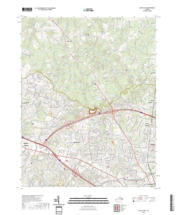
2023 Map of Glen Allen
USGS Topo · Published 2023About this map
The Chickahominy River winds through the northern portion of this Henrico County landscape, serving as a natural divider near Hunton and Kenwood. The area transitions from the densely developed suburban hubs of Innsbrook, Short Pump, and Wyndham in the southwest to the more open terrain surrounding Farrington in the north. This modern survey documents a high concentration of spiritual and community landmarks, including the Forest Grove United Methodist Church Cem and the North Gayton Baptist Church/Cem. Major transportation corridors like W Broad St and Staples Mill Rd anchor the region's connectivity, while the Henrico County Courthouse stands as a significant civic fixture in the southeast near Dumbarton. Numerous small water bodies such as Eakal Lake and Hoehns Lake are scattered throughout, illustrating the local drainage patterns into Hungry Creek and North Run.
Find a feature on this map
45 named features on this map. Tap any name to fly to it.
Don’t see what you’re looking for? This feature index may not catch every label — zoom into the map to look around manually.
Map Details
Editions of this 2023 Glen Allen Map
This is the sole edition of this map. No revisions or reprints were ever made.
Other maps of this area

1890 · Goochland
USGS Topo · 1:125,000

1892 · Goochland
USGS Topo · 1:125,000

1894 · Richmond
USGS Topo · 1:62,500

1895 · Richmond
USGS Topo · 1:62,500

1918 · Doswell
USGS Topo · 1:62,500

1934 · Richmond
USGS Topo · 1:24,000

1936 · Richmond West
USGS Topo · 1:24,000

1936 · Glen Allen
USGS Topo · 1:24,000

1938 · Yellow Tavern
USGS Topo · 1:31,680

1939 · Richmond
USGS Topo · 1:31,680