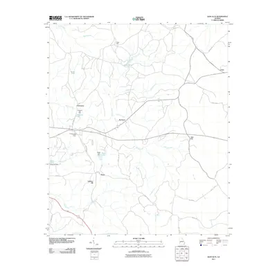
2011 Map of Glen Alta
USGS Topo · Published 2011About this map
Ochillee Creek winds through this rural landscape, serving as a central waterway for several small Georgia settlements including Glen Alta, Christopher, and Ida Vesper. The area is characterized by a network of drainage systems, including Hollis Creek, Slaughter Creek, and Bagley Creek, which feed into local impoundments such as Bagley Lake and Daniels Pond. Significant local elevations rise at Bush Hill and Gobblers Hill, while the Chattahoochee Lookout Tower stands as a notable landmark near the junction of Box Springs Rd and Fire Tower Rd. This survey captures the region just before the mid-2010s, showing a transition of land use defined by forestry and small-scale water management near Union and Manta.
Find a feature on this map
40 named features on this map. Tap any name to fly to it.
Don’t see what you’re looking for? This feature index may not catch every label — zoom into the map to look around manually.
Map Details
Editions of this 2011 Glen Alta Map
This is the sole edition of this map. No revisions or reprints were ever made.
Other maps of this area

1908 · Columbus
USGS Topo · 1:62,500

1929 · Columbus
USGS Topo · 1:48,000

1947 · Columbus
USGS Topo · 1:62,500

1949 · Glen Alta
USGS Topo · 1:24,000

1949 · Ochillee
USGS Topo · 1:24,000

1949 · Buena Vista NW
USGS Topo · 1:24,000

1949 · Cusseta
USGS Topo · 1:24,000

1950 · Louvale
USGS Topo · 1:24,000

1950 · Buena Vista NE
USGS Topo · 1:24,000

1950 · Buena Vista
USGS Topo · 1:24,000