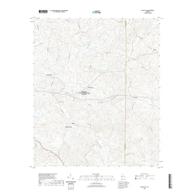
2020 Map of Glen Alta
USGS Topo · Published 2020About this map
Ochillee Cr flows through the center of this rural landscape where Chattahoochee and Marion counties meet. The area is defined by a network of scattered settlements including Glen Alta, Christopher, and Ida Vesper, connected by numerous local roads such as Red Diamond Rd and Old Columbus Rd. The topography is marked by notable elevations like Bush Hill and Gobblers Hill, while several small impoundments and natural drainages like Bagley Lake and Hichitee Cr break up the wooded terrain.
Find a feature on this map
50 named features on this map. Tap any name to fly to it.
Don’t see what you’re looking for? This feature index may not catch every label — zoom into the map to look around manually.
Map Details
Editions of this 2020 Glen Alta Map
This is the sole edition of this map. No revisions or reprints were ever made.
Other maps of this area

1908 · Columbus
USGS Topo · 1:62,500

1929 · Columbus
USGS Topo · 1:48,000

1947 · Columbus
USGS Topo · 1:62,500

1949 · Glen Alta
USGS Topo · 1:24,000

1949 · Ochillee
USGS Topo · 1:24,000

1949 · Buena Vista NW
USGS Topo · 1:24,000

1949 · Cusseta
USGS Topo · 1:24,000

1950 · Louvale
USGS Topo · 1:24,000

1950 · Buena Vista NE
USGS Topo · 1:24,000

1950 · Buena Vista
USGS Topo · 1:24,000