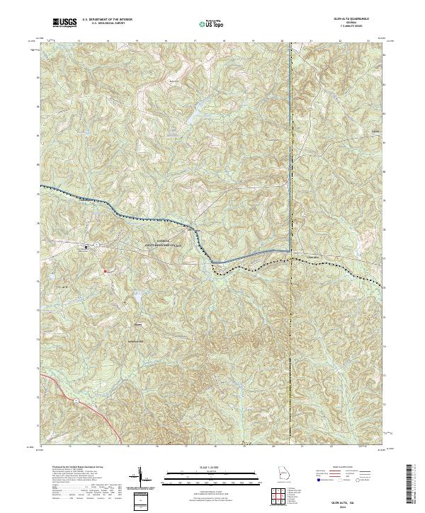
2024 Map of Glen Alta
USGS Topo · Published 2024About this map
Fort Benning encompasses much of the northern landscape of this region, where the terrain is defined by the winding course of Ochillee Creek and its many tributaries. The area is marked by a network of small settlements and family-named landmarks that speak to the local rural history of Cusseta-Chattahoochee County. Clusters of activity appear at Ida Vesper and Christopher, while the eastern border meets Marion County near the community of Glen Alta.
Find a feature on this map
55 named features on this map. Tap any name to fly to it.
Don’t see what you’re looking for? This feature index may not catch every label — zoom into the map to look around manually.
Map Details
Editions of this 2024 Glen Alta Map
This is the sole edition of this map. No revisions or reprints were ever made.
Other maps of this area

1908 · Columbus
USGS Topo · 1:62,500

1929 · Columbus
USGS Topo · 1:48,000

1947 · Columbus
USGS Topo · 1:62,500

1949 · Glen Alta
USGS Topo · 1:24,000

1949 · Ochillee
USGS Topo · 1:24,000

1949 · Buena Vista NW
USGS Topo · 1:24,000

1949 · Cusseta
USGS Topo · 1:24,000

1950 · Louvale
USGS Topo · 1:24,000

1950 · Buena Vista NE
USGS Topo · 1:24,000

1950 · Buena Vista
USGS Topo · 1:24,000