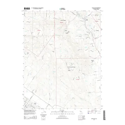
2015 Map of Glen Ellen
USGS Topo · Published 2015About this map
Sonoma Mtn anchors the center of this landscape, its western slopes drained by numerous creeks including Lichau Cr and Adobe Cr. The eastern foothills show a transition from the agricultural clearings of Mays Clearing and Woodcutters Meadow to established residential and institutional settlements. The village of Glen Ellen and the nearby community of Eldridge sit along the winding path of Sonoma Cr, where the local terrain is deeply carved by Stuart Canyon and Calabazas Cr.
Find a feature on this map
148 named features on this map. Tap any name to fly to it.
Don’t see what you’re looking for? This feature index may not catch every label — zoom into the map to look around manually.
Map Details
Editions of this 2015 Glen Ellen Map
This is the sole edition of this map. No revisions or reprints were ever made.
Other maps of this area

1902 · Napa
USGS Topo · 1:125,000

1914 · Petaluma
USGS Topo · 1:62,500

1916 · Mare Island
USGS Topo · 1:62,500

1916 · Santa Rosa
USGS Topo · 1:62,500

1942 · Mare Island
USGS Topo · 1:62,500

1942 · Sonoma
USGS Topo · 1:62,500

1942 · Petaluma
USGS Topo · 1:62,500

1944 · Santa Rosa
USGS Topo · 1:62,500

1947 · Santa Rosa
USGS Topo · 1:250,000

1949 · Santa Rosa
USGS Topo · 1:250,000