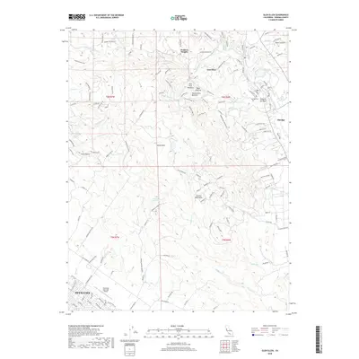
2018 Map of Glen Ellen
USGS Topo · Published 2018About this map
Sonoma Mountains dominate the central landscape of this Sonoma County region, where the ridge lines separate the developed corridors of the Valley of the Moon from the outskirts of Petaluma. In the northeast, the community of Glen Ellen serves as a focal point near Sonoma Creek, while the nearby grounds of Eldridge include the Eldridge Cemetery and several small reservoirs like Suttonfield Lake and Fern Lake.
Find a feature on this map
142 named features on this map. Tap any name to fly to it.
Don’t see what you’re looking for? This feature index may not catch every label — zoom into the map to look around manually.
Map Details
Editions of this 2018 Glen Ellen Map
This is the sole edition of this map. No revisions or reprints were ever made.
Other maps of this area
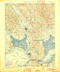
1902 · Napa
USGS Topo · 1:125,000
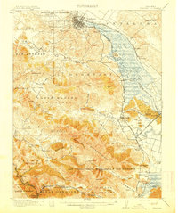
1914 · Petaluma
USGS Topo · 1:62,500
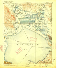
1916 · Mare Island
USGS Topo · 1:62,500
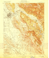
1916 · Santa Rosa
USGS Topo · 1:62,500
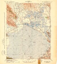
1942 · Mare Island
USGS Topo · 1:62,500
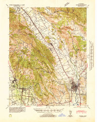
1942 · Sonoma
USGS Topo · 1:62,500
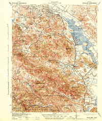
1942 · Petaluma
USGS Topo · 1:62,500
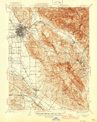
1944 · Santa Rosa
USGS Topo · 1:62,500
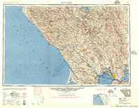
1947 · Santa Rosa
USGS Topo · 1:250,000
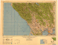
1949 · Santa Rosa
USGS Topo · 1:250,000