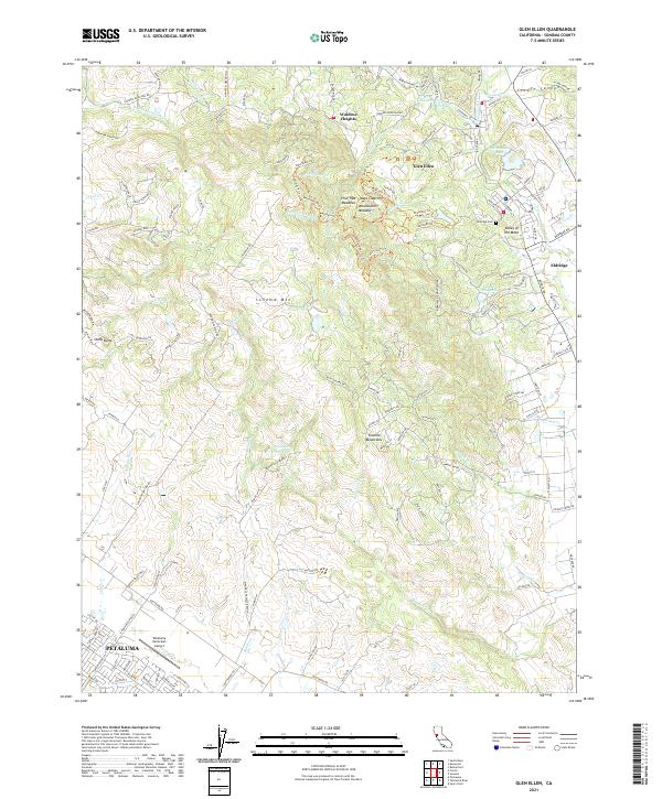
2021 Map of Glen Ellen
USGS Topo · Published 2021About this map
Sonoma Mtn anchors the rugged landscape between the growing outskirts of Petaluma and the historic community of Glen Ellen. This survey of the Valley of the Moon captures a blend of protected open spaces, such as Mays Clearing and Pine Tree Meadows, alongside vital local infrastructure like the Petaluma Municipal Airport and the Petaluma Reservoir. In the northeast, the settlement of Eldridge is well-defined, featuring the Eldridge Cem and the Sonoma Mountain Sch. Numerous drainage systems, including Adobe Cr, Lichau Cr, and Graham Cr, carve through the complex topography of the Sonoma Mountains. The map reveals the intricate network of ranch roads and residential lanes that link remote homesites in Waldrue Heights to the valley floor, documenting the transition from wild mountainous terrain to established agricultural and residential use.
Find a feature on this map
178 named features on this map. Tap any name to fly to it.
Don’t see what you’re looking for? This feature index may not catch every label — zoom into the map to look around manually.
Map Details
Editions of this 2021 Glen Ellen Map
This is the sole edition of this map. No revisions or reprints were ever made.
Other maps of this area

1902 · Napa
USGS Topo · 1:125,000

1914 · Petaluma
USGS Topo · 1:62,500

1916 · Mare Island
USGS Topo · 1:62,500

1916 · Santa Rosa
USGS Topo · 1:62,500

1942 · Mare Island
USGS Topo · 1:62,500

1942 · Sonoma
USGS Topo · 1:62,500

1942 · Petaluma
USGS Topo · 1:62,500

1944 · Santa Rosa
USGS Topo · 1:62,500

1947 · Santa Rosa
USGS Topo · 1:250,000

1949 · Santa Rosa
USGS Topo · 1:250,000