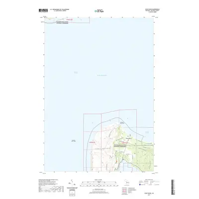
2019 Map of Glen Haven
USGS Topo · Published 2019About this map
Sleeping Bear Dunes National Lakeshore dominates this coastal landscape, where the shifting sands of the Sleeping Bear Dunes meet the waters of Lake Michigan. The small settlement of Glen Haven serves as a focal point along the shoreline of Sleeping Bear Bay, providing a historical anchor for the area's maritime and recreational identity. The map illustrates a complex network of footpaths and access routes, including the Sleeping Bear Point Trail and Dunes Trail, which navigate the elevation changes between the shore and the higher ridges.
Find a feature on this map
23 named features on this map. Tap any name to fly to it.
Don’t see what you’re looking for? This feature index may not catch every label — zoom into the map to look around manually.
Map Details
Editions of this 2019 Glen Haven Map
This is the sole edition of this map. No revisions or reprints were ever made.
Other maps of this area

1954 · Traverse City
USGS Topo · 1:250,000

1954 · Escanaba
USGS Topo · 1:250,000

1954 · Manitowoc
USGS Topo · 1:250,000

1955 · Cheboygan
USGS Topo · 1:250,000

1956 · North Manitou
USGS Topo · 1:62,500

1957 · Escanaba
USGS Topo · 1:250,000

1957 · Empire
USGS Topo · 1:62,500

1957 · Maple City
USGS Topo · 1:62,500

1958 · Escanaba
USGS Topo · 1:250,000

1958 · Cheboygan
USGS Topo · 1:250,000