
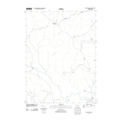
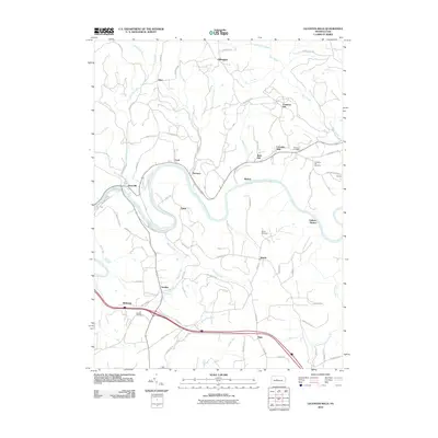
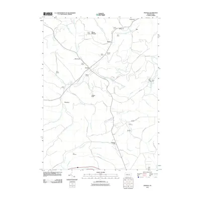
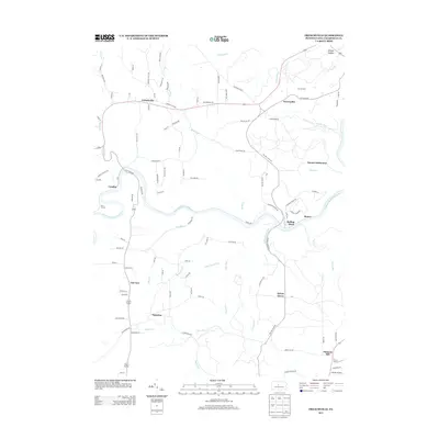
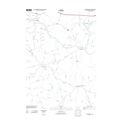
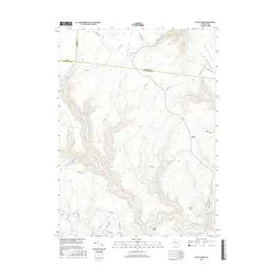
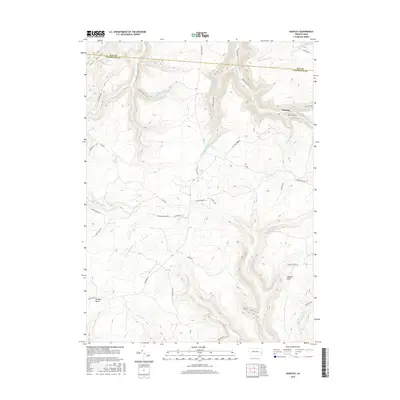
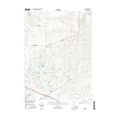
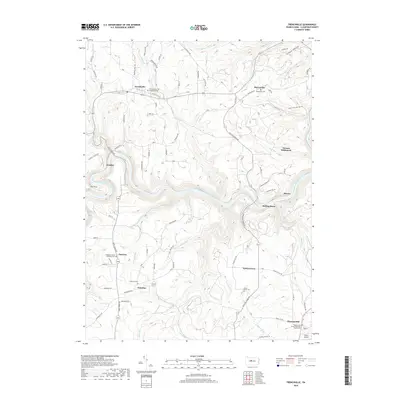
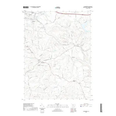
1993 Map of Glen Richey
USGS Topo · Published 1994About this map
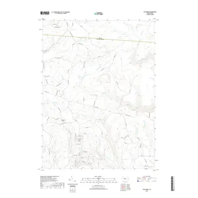
The winding course of Clearfield Creek and the West Branch Susquehanna River anchor this central Pennsylvania landscape during the early 1990s. The terrain is characterized by high ridges like Clover Hill and narrow passages such as The Narrows, where infrastructure and industry follow the natural contours of the land. Evidence of the region’s coal mining history is visible in several Strip Mines and the presence of an Old Railroad Grade that once connected these extraction points to larger markets.
Find a feature on this map
58 named features on this map. Tap any name to fly to it.
Don’t see what you’re looking for? This feature index may not catch every label — zoom into the map to look around manually.
Map Details
Editions of this 1993 Glen Richey Map
This is the sole edition of this map. No revisions or reprints were ever made.
Historical Maps of Decatur Township Through Time
74 maps found

1929 Karthaus
Clearfield County, PA

1929 Penfield
Clearfield County, PA

1932 Karthaus
Clearfield County, PA

1932 Penfield
Clearfield County, PA

1944 Glen Richey
Clearfield County, PA

1946 Glen Richey
Clearfield County, PA

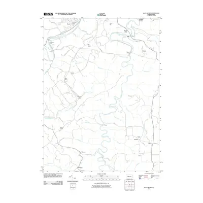
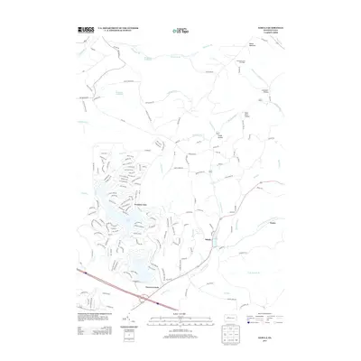
1959 Devils Elbow
Clearfield County, PA

1959 Elliott Park
Clearfield County, PA

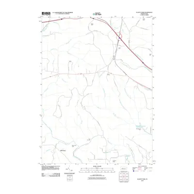
1959 Frenchville
Clearfield County, PA

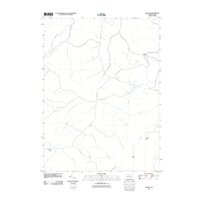
1959 Huntley
Clearfield County, PA

1959 Lecontes Mills
Clearfield County, PA

1959 Luthersburg
Clearfield County, PA

1959 Penfield
Clearfield County, PA

1959 Sabula
Clearfield County, PA

1959 The Knobs
Clearfield County, PA

1968 Mc Gees Mills
Clearfield County, PA
1993 Glen Richey
Clearfield County, PA

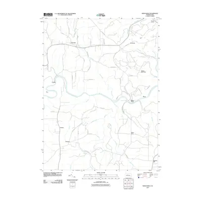
1993 Penfield
Clearfield County, PA

2000 Lecontes Mills
Clearfield County, PA
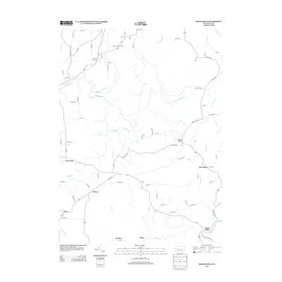
2010 Devils Elbow
Clearfield County, PA
2010 Elliott Park
Clearfield County, PA
2010 Frenchville
Clearfield County, PA
2010 Glen Richey
Clearfield County, PA
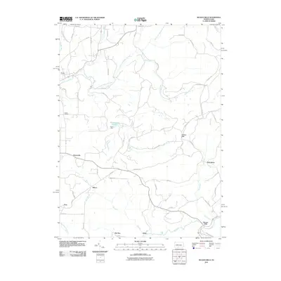
2010 Huntley
Clearfield County, PA
2010 Lecontes Mills
Clearfield County, PA
2010 Luthersburg
Clearfield County, PA
2010 McGees Mills
Clearfield County, PA
2010 Penfield
Clearfield County, PA
2010 Sabula
Clearfield County, PA
2010 The Knobs
Clearfield County, PA

2013 Devils Elbow
Clearfield County, PA
2013 Elliott Park
Clearfield County, PA
2013 Frenchville
Clearfield County, PA
2013 Glen Richey
Clearfield County, PA
2013 Huntley
Clearfield County, PA
2013 Lecontes Mills
Clearfield County, PA
2013 Luthersburg
Clearfield County, PA
2013 McGees Mills
Clearfield County, PA

2013 Penfield
Clearfield County, PA
2013 Sabula
Clearfield County, PA
2013 The Knobs
Clearfield County, PA
2016 Devils Elbow
Clearfield County, PA
2016 Elliott Park
Clearfield County, PA
2016 Frenchville
Clearfield County, PA
2016 Glen Richey
Clearfield County, PA
2016 Huntley
Clearfield County, PA
2016 Lecontes Mills
Clearfield County, PA
2016 Luthersburg
Clearfield County, PA
2016 McGees Mills
Clearfield County, PA

2016 Penfield
Clearfield County, PA
2016 Sabula
Clearfield County, PA
2016 The Knobs
Clearfield County, PA
2019 Devils Elbow
Clearfield County, PA
2019 Elliott Park
Clearfield County, PA
2019 Frenchville
Clearfield County, PA
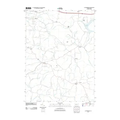
2019 Glen Richey
Clearfield County, PA
2019 Huntley
Clearfield County, PA
2019 Lecontes Mills
Clearfield County, PA
2019 Luthersburg
Clearfield County, PA
2019 McGees Mills
Clearfield County, PA
2019 Penfield
Clearfield County, PA
2019 Sabula
Clearfield County, PA
2019 The Knobs
Clearfield County, PA

2023 Devils Elbow
Clearfield County, PA

2023 Elliott Park
Clearfield County, PA

2023 Frenchville
Clearfield County, PA

2023 Glen Richey
Clearfield County, PA

2023 Huntley
Clearfield County, PA

2023 Lecontes Mills
Clearfield County, PA

2023 Luthersburg
Clearfield County, PA

2023 McGees Mills
Clearfield County, PA

2023 Penfield
Clearfield County, PA

2023 Sabula
Clearfield County, PA

2023 The Knobs
Clearfield County, PA