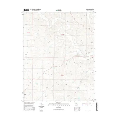
2015 Map of Glenallen
USGS Topo · Published 2015About this map
Bessville and Glenallen anchor this part of Bollinger County, where the landscape is defined by the winding drainages of Crooked Creek and Little Crooked Creek. The terrain is characterized by intricate creek valleys and hollows, such as Black Snake Hollow to the north and Robey Hollow in the southeast. Evidence of early settlement and family history is found throughout the area, with several burial sites including Mouser Cemetery and Myers Cemetery scattered across the township lines. Toward the southern edge of the survey, the settlement of Huxie sits near Cane Creek, while the town of Marble Hill appears on the eastern margin. Water features like Reed Lake and the Lake of the Hills provide contrast to the numerous branching tributaries like Gimlet Creek and Opossum Creek that carve through the local topography.
Find a feature on this map
52 named features on this map. Tap any name to fly to it.
Don’t see what you’re looking for? This feature index may not catch every label — zoom into the map to look around manually.
Map Details
Editions of this 2015 Glenallen Map
This is the sole edition of this map. No revisions or reprints were ever made.
Other maps of this area

1933 · Marble Hill
USGS Topo · 1:62,500

1933 · Marquand
USGS Topo · 1:62,500

1934 · Advance
USGS Topo · 1:62,500

1935 · Zalma
USGS Topo · 1:62,500

1937 · Marble Hill
USGS Topo · 1:62,500

1938 · Marquand
USGS Topo · 1:62,500

1939 · Advance
USGS Topo · 1:62,500

1939 · Zalma
USGS Topo · 1:62,500

1949 · Paducah
USGS Topo · 1:250,000

1949 · Rolla
USGS Topo · 1:250,000