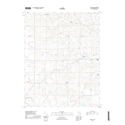
2017 Map of Glenallen
USGS Topo · Published 2017About this map
Glenallen and the neighboring community of Bessville anchor this 2017 survey of central Bollinger County, where the landscape is defined by the winding paths of Crooked Creek and its many tributaries. The area maintains a rural character, evidenced by the numerous family and community burial grounds scattered across the terrain, including Mouser Cem, Deck Cem, and Myers Cem. Historical industrial echoes remain visible through the naming of Beuhler Mill Rd near the Glenallen townsite.
Find a feature on this map
56 named features on this map. Tap any name to fly to it.
Don’t see what you’re looking for? This feature index may not catch every label — zoom into the map to look around manually.
Map Details
Editions of this 2017 Glenallen Map
This is the sole edition of this map. No revisions or reprints were ever made.
Other maps of this area

1933 · Marble Hill
USGS Topo · 1:62,500

1933 · Marquand
USGS Topo · 1:62,500

1934 · Advance
USGS Topo · 1:62,500

1935 · Zalma
USGS Topo · 1:62,500

1937 · Marble Hill
USGS Topo · 1:62,500

1938 · Marquand
USGS Topo · 1:62,500

1939 · Advance
USGS Topo · 1:62,500

1939 · Zalma
USGS Topo · 1:62,500

1949 · Paducah
USGS Topo · 1:250,000

1949 · Rolla
USGS Topo · 1:250,000