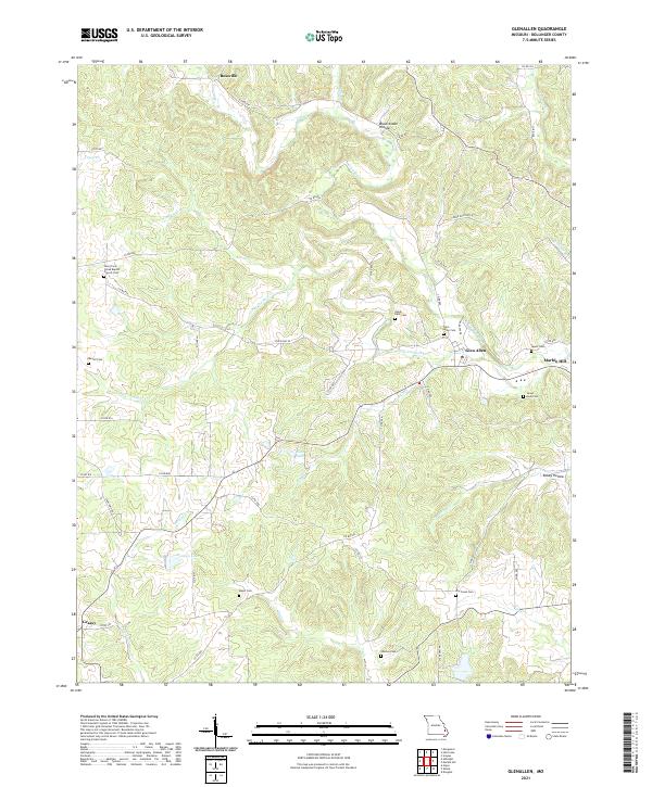
2021 Map of Glenallen
USGS Topo · Published 2021About this map
Glen Allen and the western edge of Marble Hill occupy a landscape deeply etched by the drainage of Crooked Creek and its many tributaries. This 2021 topographic perspective of Bollinger County reveals a rural network where small settlements like Bessville and Grassy are linked by winding county roads and state routes like State Hwy ZZ. The map is particularly rich in genealogical data, preserving the locations of numerous family and community burial grounds, including the New Trace Creek Baptist Church Cem and the Mouser Cem.
Find a feature on this map
59 named features on this map. Tap any name to fly to it.
Don’t see what you’re looking for? This feature index may not catch every label — zoom into the map to look around manually.
Map Details
Editions of this 2021 Glenallen Map
This is the sole edition of this map. No revisions or reprints were ever made.
Other maps of this area

1933 · Marble Hill
USGS Topo · 1:62,500

1933 · Marquand
USGS Topo · 1:62,500

1934 · Advance
USGS Topo · 1:62,500

1935 · Zalma
USGS Topo · 1:62,500

1937 · Marble Hill
USGS Topo · 1:62,500

1938 · Marquand
USGS Topo · 1:62,500

1939 · Advance
USGS Topo · 1:62,500

1939 · Zalma
USGS Topo · 1:62,500

1949 · Paducah
USGS Topo · 1:250,000

1949 · Rolla
USGS Topo · 1:250,000