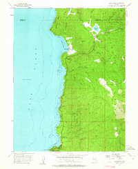
1955 Map of Glenbrook
USGS Topo · Published 1963About this map
Lake Tahoe dominates the western edge of this 1950s survey, where the rugged terrain of the Carson Range meets the shoreline of Douglas County. The lakeside settlement of Glenbrook serves as a focal point, featuring a golf course and various landings near Glenbrook Bay. Further south, the community at Zephyr Cove is clearly established with a District Courthouse, a Fire Sta, and the Tahoe School, reflecting the mid-century development of these alpine enclaves.
Find a feature on this map
37 named features on this map. Tap any name to fly to it.
Don’t see what you’re looking for? This feature index may not catch every label — zoom into the map to look around manually.
Map Details
Editions of this 1955 Glenbrook Map
4 editions found

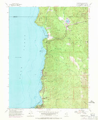
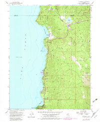
Other maps of this area

1889 · Pyramid Peak
USGS Topo · 1:125,000

1889 · Markleeville
USGS Topo · 1:125,000

1891 · Carson
USGS Topo · 1:125,000

1891 · Markleeville
USGS Topo · 1:125,000

1891 · Truckee
USGS Topo · 1:125,000

1891 · Pyramid Peak
USGS Topo · 1:125,000

1893 · Carson
USGS Topo · 1:125,000

1893 · Markleeville
USGS Topo · 1:125,000

1893 · Truckee
USGS Topo · 1:125,000

1895 · Pyramid Peak
USGS Topo · 1:125,000