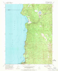
1955 Map of Glenbrook
USGS Topo · Published 1971About this map
Lake Tahoe dominates the western edge of this 1955 survey, where the rugged eastern shoreline of Nevada meets the deep waters of Glenbrook Bay. The settlement of Glenbrook serves as a focal point, featuring the Glenbrook Golf Course and the nearby Shakespeare Point landmark. Development in the mid-20th century is evident through the string of lakeside communities including Lincoln Park, Lakeridge, Skyland, and Zephyr Cove. Rising sharply from the water, the terrain transitions into the Toiyabe National Forest, marked by prominent heights like South Camp Peak and the geological landmark Cave Rock. Further inland, Spooner Lake sits at the junction of several mountain drainages such as North Canyon Creek and Logan House Creek. Notable local infrastructure includes the Tahoe School and the District Courthouse Fire Sta, reflecting the growing civic footprint in the Lake Tahoe basin during the post-war era.
Find a feature on this map
41 named features on this map. Tap any name to fly to it.
Don’t see what you’re looking for? This feature index may not catch every label — zoom into the map to look around manually.
Map Details
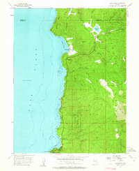
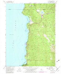
Editions of this 1955 Glenbrook Map
4 editions found

Other maps of this area

1889 · Pyramid Peak
USGS Topo · 1:125,000

1889 · Markleeville
USGS Topo · 1:125,000

1891 · Carson
USGS Topo · 1:125,000

1891 · Markleeville
USGS Topo · 1:125,000

1891 · Truckee
USGS Topo · 1:125,000

1891 · Pyramid Peak
USGS Topo · 1:125,000

1893 · Carson
USGS Topo · 1:125,000

1893 · Markleeville
USGS Topo · 1:125,000

1893 · Truckee
USGS Topo · 1:125,000

1895 · Pyramid Peak
USGS Topo · 1:125,000