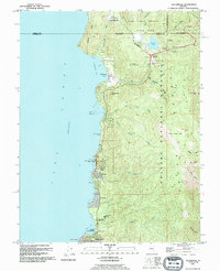
1992 Map of Glenbrook
USGS Topo · Published 1994About this map
Glenbrook serves as a focal point along the eastern shores of Lake Tahoe, where the landscape transitions from the developed lakefront to the rising peaks of the Toiyabe National Forest. The map illustrates a concentration of residential pockets and recreational landmarks, including the Zephyr Cove Resort and Skyland, alongside essential civic infrastructure like the District Courthouse and George Whittell High Sch.
Find a feature on this map
47 named features on this map. Tap any name to fly to it.
Don’t see what you’re looking for? This feature index may not catch every label — zoom into the map to look around manually.
Map Details
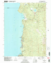
Editions of this 1992 Glenbrook Map
2 editions found
Other maps of this area

1889 · Pyramid Peak
USGS Topo · 1:125,000

1889 · Markleeville
USGS Topo · 1:125,000

1891 · Carson
USGS Topo · 1:125,000

1891 · Markleeville
USGS Topo · 1:125,000

1891 · Truckee
USGS Topo · 1:125,000

1891 · Pyramid Peak
USGS Topo · 1:125,000

1893 · Carson
USGS Topo · 1:125,000

1893 · Markleeville
USGS Topo · 1:125,000

1893 · Truckee
USGS Topo · 1:125,000

1895 · Pyramid Peak
USGS Topo · 1:125,000