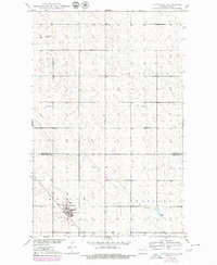
1949 Map of Glenburn
USGS Topo · Published 1980About this map
Glenburn serves as the primary hub in this North Dakota landscape, situated at the junction of the Burlington Northern railroad and regional roadways. The town is flanked by essential community markers, including Fairview Cem and a nearby Landing Strip. The surrounding prairie is characterized by a high density of small water bodies and depressions, with drainage provided by the meandering Spring Coulee and a dedicated Spillway further east.
Find a feature on this map
14 named features on this map. Tap any name to fly to it.
Don’t see what you’re looking for? This feature index may not catch every label — zoom into the map to look around manually.
Map Details
Editions of this 1949 Glenburn Map
2 editions found
Other maps of this area

1948 · Lansford
USGS Topo · 1:62,500

1948 · Burlington
USGS Topo · 1:62,500

1949 · Glenburn
USGS Topo · 1:24,000

1949 · Deering NW
USGS Topo · 1:24,000

1949 · Lansford SE
USGS Topo · 1:24,000

1949 · Lansford NE
USGS Topo · 1:24,000

1949 · Maxbass
USGS Topo · 1:24,000

1949 · Eckman SE
USGS Topo · 1:24,000

1949 · Eckman
USGS Topo · 1:24,000

1949 · Deering
USGS Topo · 1:24,000