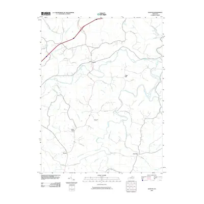
2010 Map of Glencoe
USGS Topo · Published 2010About this map
Eagle Creek defines the northern half of this landscape, its winding course threading past the settlement of Glencoe. This 2010 survey reveals a rural network of ridge-top roads and creek-bottom homesteads across Gallatin County, connecting small communities such as Eagle Hill and Jonesville. To the south, the terrain becomes increasingly dissected by numerous tributaries including Brush Creek, Rudder Branch, and Slab Lick Branch, where the topography dictated the placement of local thoroughfares like Stewart Ridge Rd.
Find a feature on this map
47 named features on this map. Tap any name to fly to it.
Don’t see what you’re looking for? This feature index may not catch every label — zoom into the map to look around manually.
Map Details
Editions of this 2010 Glencoe Map
This is the sole edition of this map. No revisions or reprints were ever made.
Other maps of this area

1943 · Florence
USGS Topo · 1:24,000

1943 · Patriot
USGS Topo · 1:24,000

1950 · New Liberty
USGS Topo · 1:24,000

1950 · Glencoe
USGS Topo · 1:24,000

1950 · Elliston
USGS Topo · 1:24,000

1950 · Owenton
USGS Topo · 1:24,000

1950 · Verona
USGS Topo · 1:24,000

1950 · Lawrenceville
USGS Topo · 1:24,000

1951 · Florence
USGS Topo · 1:24,000

1951 · Sanders
USGS Topo · 1:24,000