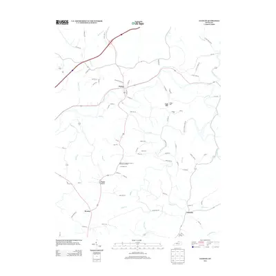
2013 Map of Glencoe
USGS Topo · Published 2013About this map
Glencoe serves as a central hub in this Gallatin County landscape, where the intersection of state routes and local lanes like Ethridge Ln and Chapman Ln defines the rural community. The area is characterized by a dense network of family-named burial sites and community landmarks, including the notable Poplar Grove Independent Order of Odd Fellows Cemetery and the Asa Kemper Cem. These sites, along with the Maddox Cem and Baldwin Cem, offer significant research value for those tracing local lineages in the hills north of Jonesville.
Find a feature on this map
82 named features on this map. Tap any name to fly to it.
Don’t see what you’re looking for? This feature index may not catch every label — zoom into the map to look around manually.
Map Details
Editions of this 2013 Glencoe Map
This is the sole edition of this map. No revisions or reprints were ever made.
Other maps of this area

1943 · Florence
USGS Topo · 1:24,000

1943 · Patriot
USGS Topo · 1:24,000

1950 · New Liberty
USGS Topo · 1:24,000

1950 · Glencoe
USGS Topo · 1:24,000

1950 · Elliston
USGS Topo · 1:24,000

1950 · Owenton
USGS Topo · 1:24,000

1950 · Verona
USGS Topo · 1:24,000

1950 · Lawrenceville
USGS Topo · 1:24,000

1951 · Florence
USGS Topo · 1:24,000

1951 · Sanders
USGS Topo · 1:24,000