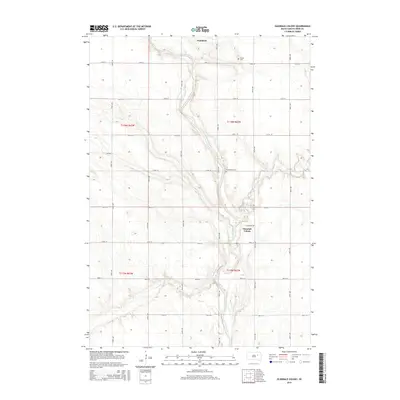
2015 Map of Glendale Colony
USGS Topo · Published 2015About this map
The James River snakes through the heart of this Spink County landscape, shaping the development and layout of the surrounding prairies. Just north of the river's bend lies the town of Frankfort, serving as a central hub for the township's agricultural grid. To the south, the Glendale Colony is established near the riverbanks, reflecting the communal settlement patterns characteristic of the region. The map provides a clear view of the section-line road network, including routes like 396th Ave and 177th St, which define the local geography. Local history is anchored by the presence of Trinity Cem in the north and Guttenberg Cem further south, while Timber Creek joins the main river channel from the east, adding to the drainage system of the plains.
Find a feature on this map
26 named features on this map. Tap any name to fly to it.
Don’t see what you’re looking for? This feature index may not catch every label — zoom into the map to look around manually.
Map Details
Editions of this 2015 Glendale Colony Map
This is the sole edition of this map. No revisions or reprints were ever made.
Other maps of this area

1895 · Byron
USGS Topo · 1:125,000

1953 · Frankfort
USGS Topo · 1:24,000

1953 · Ashton
USGS Topo · 1:24,000

1953 · Huron
USGS Topo · 1:250,000

1954 · Huron
USGS Topo · 1:250,000

1956 · Lake Byron NW
USGS Topo · 1:24,000

1956 · Glendale Colony
USGS Topo · 1:24,000

1956 · Spink Colony
USGS Topo · 1:24,000

1956 · Doland SW
USGS Topo · 1:24,000

1967 · Frankfort SW
USGS Topo · 1:24,000