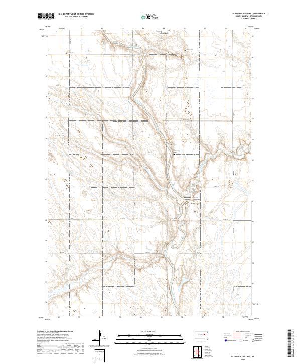
2021 Map of Glendale Colony
USGS Topo · Published 2021About this map
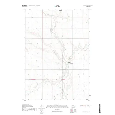
James River meanders south through the heart of Spink County, its winding course defining the agricultural landscape of the Glendale Colony area. This 2021 survey documents a region defined by communal settlement and a deep connection to the land, centered around the colony itself. The river's path is marked by a series of significant local landmarks, including the Glendale Colony Cem and the Guttenberg Cem, which provide essential points of reference for genealogists tracing local families. To the north, the edge of Frankfort borders the river valley, while Timber Creek feeds into the main waterway from the east. The map captures the organized section lines and rural road networks, such as Co Rd 22 and Co Rd 11, which link these isolated settlements and cemeteries across the South Dakota prairie.
Find a feature on this map
20 named features on this map. Tap any name to fly to it.
Don’t see what you’re looking for? This feature index may not catch every label — zoom into the map to look around manually.
Map Details
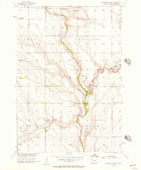
Editions of this 2021 Glendale Colony Map
This is the sole edition of this map. No revisions or reprints were ever made.
Historical Maps of Frankfort Through Time
5 maps found
Featured Locations
- Lincoln Township, SD
- Lodi Township, SD
- Crandon Township, SD
- Frankfort Township, SD
- Frankfort, Frankfort Township