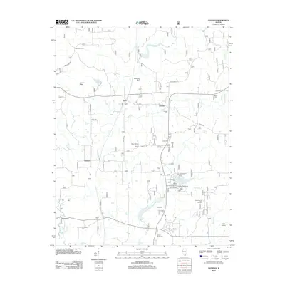
2012 Map of Glendale
USGS Topo · Published 2012About this map
Millstone Bluff and Johnson Ridge anchor this portion of Johnson County, where the southern Illinois landscape transitions into the recreation-focused lands of the Shawnee National Forest. The area is defined by its water and woods, centered on the Lake Glendale Recreation Area and the winding course of Bay Cr. A notable density of family and community burial grounds, including Harper Cem, Kerley Cem, and McClanahan Cem, provides a significant resource for genealogists tracing the early residents of settlements like Flatwoods, Robbs, and Glendale. Near the southern edge, Dixon Springs serves as a local hub, situated near the Dixon Springs RLA Airport. This survey also marks the Trigg Lookout Tower, a legacy of early fire detection and forest management in this timber-rich region.
Find a feature on this map
55 named features on this map. Tap any name to fly to it.
Don’t see what you’re looking for? This feature index may not catch every label — zoom into the map to look around manually.
Map Details
Editions of this 2012 Glendale Map
This is the sole edition of this map. No revisions or reprints were ever made.
Other maps of this area

1917 · Brownfield
USGS Topo · 1:62,500

1918 · Vienna
USGS Topo · 1:62,500

1919 · Vienna
USGS Topo · 1:62,500

1925 · Marion
USGS Topo · 1:62,500

1925 · Harrisburg
USGS Topo · 1:62,500

1939 · Harrisburg
USGS Topo · 1:62,500

1940 · Marion
USGS Topo · 1:62,500

1942 · Vienna
USGS Topo · 1:62,500

1949 · Paducah
USGS Topo · 1:250,000

1950 · Paducah
USGS Topo · 1:250,000