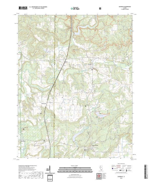
2024 Map of Glendale
USGS Topo · Published 2024About this map
Shawnee National Forest encompasses much of this Southern Illinois landscape, where the boundary between Johnson and Pope counties runs through a network of small agricultural settlements and wooded ridges. This modern survey shows a region defined by its reliance on water and topography, from the drainage of Bay Creek to the prominent height of Millstone Bluff. Numerous family and community cemeteries are scattered across the quadrangle, including Harper Cem, Kerley Cem, and Roland Cem, providing essential points of reference for genealogical research in this rural corridor.
Find a feature on this map
56 named features on this map. Tap any name to fly to it.
Don’t see what you’re looking for? This feature index may not catch every label — zoom into the map to look around manually.
Map Details
Editions of this 2024 Glendale Map
This is the sole edition of this map. No revisions or reprints were ever made.
Other maps of this area

1917 · Brownfield
USGS Topo · 1:62,500

1918 · Vienna
USGS Topo · 1:62,500

1919 · Vienna
USGS Topo · 1:62,500

1925 · Marion
USGS Topo · 1:62,500

1925 · Harrisburg
USGS Topo · 1:62,500

1939 · Harrisburg
USGS Topo · 1:62,500

1940 · Marion
USGS Topo · 1:62,500

1942 · Vienna
USGS Topo · 1:62,500

1949 · Paducah
USGS Topo · 1:250,000

1950 · Paducah
USGS Topo · 1:250,000