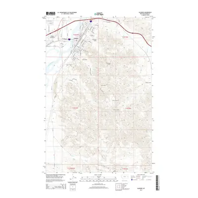
2014 Map of Glendive
USGS Topo · Published 2014About this map
The Yellowstone River cuts through the heart of this landscape, separating Glendive from its neighbor, West Glendive. The map reveals a transition from the urban grid of the county seat—home to Dawson Community Coll and the Dawson County Cem—to the deeply eroded badlands of Makoshika State Park. This terrain is defined by complex drainage systems, including Graveyard Coulee, Cains Coulee, and Kinney Coulee, which weave through the high ground toward the Glendive Cr.
Find a feature on this map
75 named features on this map. Tap any name to fly to it.
Don’t see what you’re looking for? This feature index may not catch every label — zoom into the map to look around manually.
Map Details
Editions of this 2014 Glendive Map
This is the sole edition of this map. No revisions or reprints were ever made.
Other maps of this area

1909 · Glendive
USGS Topo · 1:250,000

1953 · Miles City
USGS Topo · 1:250,000

1954 · Glendive
USGS Topo · 1:250,000

1957 · Miles City
USGS Topo · 1:250,000

1957 · Glendive
USGS Topo · 1:250,000

1958 · Miles City
USGS Topo · 1:250,000

1958 · Glendive
USGS Topo · 1:250,000

1967 · Stipek
USGS Topo · 1:24,000

1967 · Allard
USGS Topo · 1:24,000

1967 · Belle Prairie
USGS Topo · 1:24,000
Featured Places
- Glendive, MT
- Casitas Del Rio, Glendive
- Highland Mobile Home Park, MT
- Spring Grove Trailer Court, MT
- West Glendive, MT