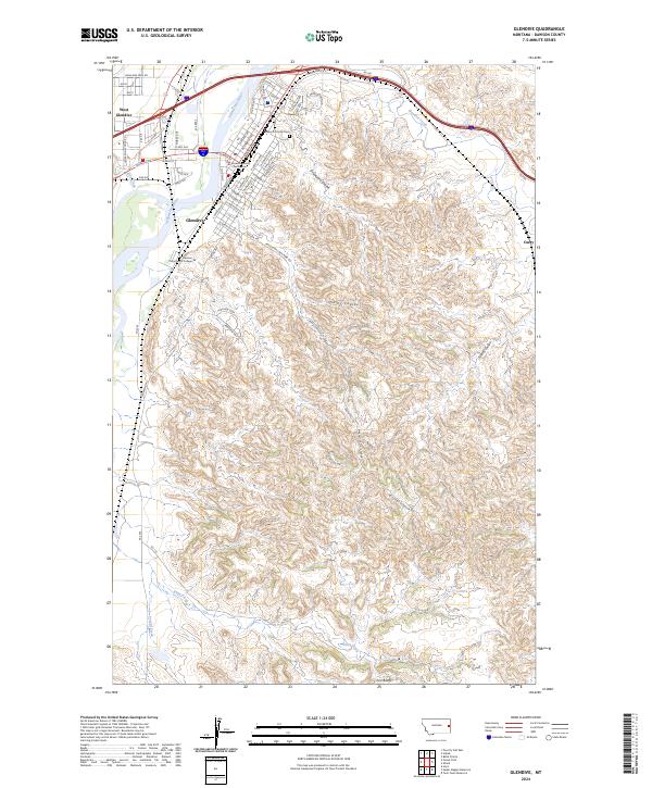
2024 Map of Glendive
USGS Topo · Published 2024About this map
The Yellowstone River carves through the landscape of eastern Montana, separating West Glendive from the main settlement of Glendive. As the county seat, the town is anchored by the Dawson County Courthouse and serves as a regional hub for education and commerce, shown here with the campus of Dawson Community College. The transition from the river valley to the complex badlands is marked by dramatic terrain features like the Iron Bluffs and deep drainage systems such as Graveyard Coulee and Cains Coulee.
Find a feature on this map
37 named features on this map. Tap any name to fly to it.
Don’t see what you’re looking for? This feature index may not catch every label — zoom into the map to look around manually.
Map Details
Editions of this 2024 Glendive Map
This is the sole edition of this map. No revisions or reprints were ever made.
Other maps of this area

1909 · Glendive
USGS Topo · 1:250,000

1953 · Miles City
USGS Topo · 1:250,000

1954 · Glendive
USGS Topo · 1:250,000

1957 · Miles City
USGS Topo · 1:250,000

1957 · Glendive
USGS Topo · 1:250,000

1958 · Miles City
USGS Topo · 1:250,000

1958 · Glendive
USGS Topo · 1:250,000

1967 · Stipek
USGS Topo · 1:24,000

1967 · Allard
USGS Topo · 1:24,000

1967 · Belle Prairie
USGS Topo · 1:24,000