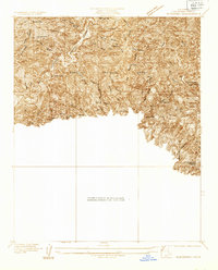
1933 Map of Glendora
USGS Topo · Published 1933About this map
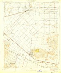
Morris Reservoir and the adjacent San Gabriel Mountains dominate this 1933 survey, which captures a critical moment of engineering expansion in Los Angeles County. This advance sheet highlights the Morris Dam and the Big Dalton Dam, infrastructure designed to manage water flow and storage for the growing communities below the foothills. The landscape is a network of ridges and canyons, where resources and access are marked by the Kelsey Mine and a series of rugged paths like the Garcia Trail and Woods Trail. Within the Angeles National Forest, the presence of numerous Firebreak lines and scattered Spring labels indicates the constant management of this dry, fire-prone terrain. The map also includes a small portion of the San Dimas Foot Hill Park, showing the early 20th-century transition of these slopes from wild lands to managed recreational and utility zones.
Find a feature on this map
17 named features on this map. Tap any name to fly to it.
Don’t see what you’re looking for? This feature index may not catch every label — zoom into the map to look around manually.
Map Details
Editions of this 1933 Glendora Map
This is the sole edition of this map. No revisions or reprints were ever made.
Other maps of this area

1894 · Pomona
USGS Topo · 1:62,500

1897 · Pomona
USGS Topo · 1:62,500

1898 · Pomona
USGS Topo · 1:62,500

1901 · Southern California Sheet No. 1
USGS Topo · 1:250,000

1904 · Pomona
USGS Topo · 1:62,500

1904 · Southern California Sheet No. 1
USGS Topo · 1:250,000
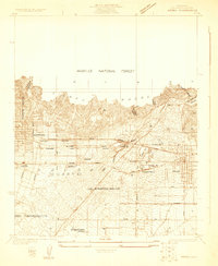
1925 · Azusa
USGS Topo · 1:24,000
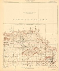
1927 · Glendora
USGS Topo · 1:24,000
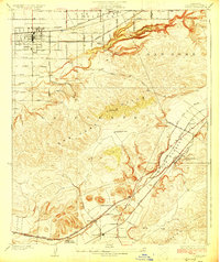
1927 · Covina
USGS Topo · 1:24,000
1927 · Puente
USGS Topo · 1:24,000