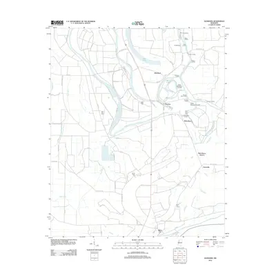
2012 Map of Glendora
USGS Topo · Published 2012About this map
The Tallahatchie River meanders through this portion of the Mississippi Delta, defining a landscape of oxbows and cut-offs near Glendora. The river's historical importance to transport is evidenced by numerous landings such as Staten Landing, Craigs Landing, and Graball Landing concentrated along its banks and the shores of Swan Lake. This 2012 survey illustrates a transition from river-dependent settlements to road-based agriculture, with the town of Glendora at its heart. Local genealogy is well-documented through several sacred sites, including Saint Marys Cem, Saint Peter Cem, and Jacobs Chapel Cem. The map also captures the confluence of drainage systems like Black Bayou and Dugan Bayou which have long shaped the region's fertile but complex hydrology.
Find a feature on this map
72 named features on this map. Tap any name to fly to it.
Don’t see what you’re looking for? This feature index may not catch every label — zoom into the map to look around manually.
Map Details
Editions of this 2012 Glendora Map
This is the sole edition of this map. No revisions or reprints were ever made.
Other maps of this area

1931 · Schlater
USGS Topo · 1:48,000

1931 · Sumner
USGS Topo · 1:48,000

1932 · Philipp
USGS Topo · 1:48,000

1934 · Schlater
USGS Topo · 1:62,500

1935 · Sumner
USGS Topo · 1:62,500

1935 · Philipp
USGS Topo · 1:62,500

1936 · Greenwood
USGS Topo · 1:62,500

1939 · Schlater
USGS Topo · 1:62,500

1939 · Sumner
USGS Topo · 1:62,500

1939 · Philipp
USGS Topo · 1:62,500