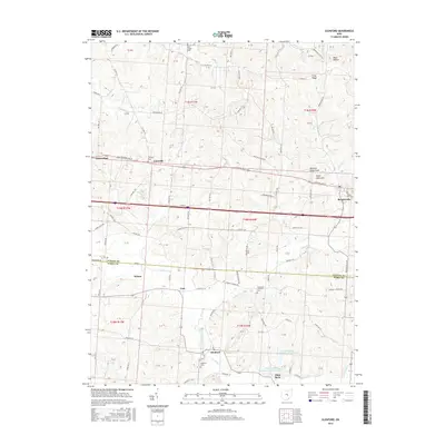
2016 Map of Glenford
USGS Topo · Published 2016About this map
Glenford and its surrounding countryside along the Jonathan Cr valley are documented here, capturing a landscape of small settlements and rural homesteads. The terrain is marked by notable elevations such as Buzzard Glory Knob and Eagle Nest Hill, while the northern portion of the map is dominated by the geographic feature Flint Ridge. This area shows a high density of small rural burial grounds, including the Linnville Cem and Goodhope Lutheran Cem, providing valuable data for genealogical research into the families of Perry and Licking counties.
Find a feature on this map
88 named features on this map. Tap any name to fly to it.
Don’t see what you’re looking for? This feature index may not catch every label — zoom into the map to look around manually.
Map Details
Editions of this 2016 Glenford Map
This is the sole edition of this map. No revisions or reprints were ever made.
Other maps of this area

1909 · Newark
USGS Topo · 1:62,500

1909 · Thornville
USGS Topo · 1:62,500

1910 · Frazeysburg
USGS Topo · 1:62,500

1910 · Zanesville
USGS Topo · 1:62,500

1947 · Columbus
USGS Topo · 1:250,000

1950 · Marion
USGS Topo · 1:250,000

1961 · Columbus
USGS Topo · 1:250,000

1961 · Hanover
USGS Topo · 1:24,000

1961 · Newark
USGS Topo · 1:24,000

1961 · Rushville
USGS Topo · 1:24,000