
1961 Map of Newark
USGS Topo · Published 1962About this map
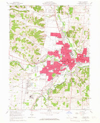
The confluence of the North Fork Licking River and South Fork Licking River anchors the industrial and cultural heart of Newark in the early 1960s. This survey highlights the region's ancient history through the preservation of the Octagon State Memorial and Moundbuilders State Memorial, complex earthworks that stand in sharp contrast to the surrounding mid-century urban expansion. The landscape is a hub of heavy industry and transit, defined by an Oil Refinery near Heath, the Newark Municipal Airport, and the presence of the Baltimore and Ohio and Pennsylvania and Ohio railroads. Settlement patterns reveal a dense network of local schools like McGuffey Sch and religious institutions such as the Welsh Hills Ch and St Francis de Sales Sch, reflecting the community's established social infrastructure as the city grew into its industrial role.
Find a feature on this map
125 named features on this map. Tap any name to fly to it.
Don’t see what you’re looking for? This feature index may not catch every label — zoom into the map to look around manually.
Map Details
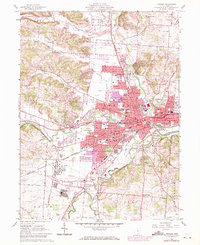
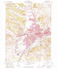
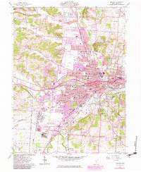
Editions of this 1961 Newark Map
5 editions found
Other maps of this area

1907 · Thurston
USGS Topo · 1:62,500

1908 · Granville
USGS Topo · 1:62,500

1909 · Newark
USGS Topo · 1:62,500

1909 · Thornville
USGS Topo · 1:62,500

1909 · Thurston
USGS Topo · 1:62,500

1910 · Granville
USGS Topo · 1:62,500

1947 · Columbus
USGS Topo · 1:250,000

1950 · Marion
USGS Topo · 1:250,000

1961 · Columbus
USGS Topo · 1:250,000

1961 · Hanover
USGS Topo · 1:24,000