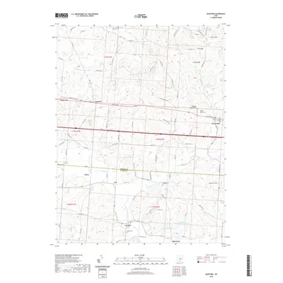
2019 Map of Glenford
USGS Topo · Published 2019About this map
Glenford and Brownsville anchor this 2019 survey of the undulating borderland between Licking and Perry Counties. The village of Linnville sits along the historic National Rd SE, surrounded by landmark heights such as Buzzard Glory Knob and Eagle Nest Hill. The drainage patterns of Jonathan Creek and its many tributaries, including Valley Run and Bowling Green Cr, reveal the intricate topography that has long shaped local settlement and agriculture.
Find a feature on this map
88 named features on this map. Tap any name to fly to it.
Don’t see what you’re looking for? This feature index may not catch every label — zoom into the map to look around manually.
Map Details
Editions of this 2019 Glenford Map
This is the sole edition of this map. No revisions or reprints were ever made.
Other maps of this area

1909 · Newark
USGS Topo · 1:62,500

1909 · Thornville
USGS Topo · 1:62,500

1910 · Frazeysburg
USGS Topo · 1:62,500

1910 · Zanesville
USGS Topo · 1:62,500

1947 · Columbus
USGS Topo · 1:250,000

1950 · Marion
USGS Topo · 1:250,000

1961 · Columbus
USGS Topo · 1:250,000

1961 · Hanover
USGS Topo · 1:24,000

1961 · Newark
USGS Topo · 1:24,000

1961 · Rushville
USGS Topo · 1:24,000