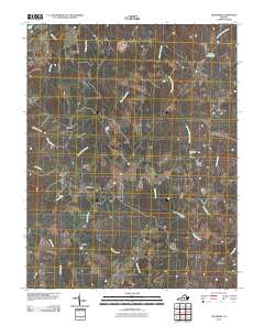
2010 Map of Glenmore
USGS Topo · Published 2010About this map
Rock Island Creek and its many tributaries, including Little Rock Island Creek and Stadon Creek, carve through this section of Buckingham County. Small, established settlements like Glenmore and Smith Store serve as local landmarks within a landscape defined by its hydraulic history, featuring Brill Dam and Fitzgerald Dam. The northern border follows the winding path of the James River, where Mill Creek and Fallsburg Creek contribute to the watershed. In the eastern portion of the quadrangle, Centenary sits near the headwaters of Sharps Creek, while the southern reaches are marked by the community of Ransons. This 2010 survey illustrates the persistent rural settlement patterns of the Virginia interior, where place names like Axtell and Camm reflect long-standing local identities tied to the creek valleys and woodland plateaus.
Find a feature on this map
24 named features on this map. Tap any name to fly to it.
Don’t see what you’re looking for? This feature index may not catch every label — zoom into the map to look around manually.
Map Details
Editions of this 2010 Glenmore Map
This is the sole edition of this map. No revisions or reprints were ever made.
Other maps of this area

1891 · Palmyra
USGS Topo · 1:125,000

1892 · Buckingham
USGS Topo · 1:125,000

1895 · Palmyra
USGS Topo · 1:125,000

1897 · Palmyra
USGS Topo · 1:125,000

1929 · Covesville
USGS Topo · 1:62,500

1935 · Covesville
USGS Topo · 1:62,500

1943 · Scottsville
USGS Topo · 1:62,500

1945 · Covesville
USGS Topo · 1:62,500

1946 · Scottsville
USGS Topo · 1:62,500

1947 · Roanoke
USGS Topo · 1:250,000