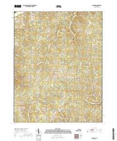
2019 Map of Glenmore
USGS Topo · Published 2019About this map
The community of Glenmore serves as a central hub in this section of Buckingham County, where the landscape is defined by the dendritic drainage patterns of Rock Island Cr and Muddy Cr. In the northern reaches, Paynes Millpond provides a significant water feature near the junction of White Rock RD and Happy Hollow RD. The settlement pattern follows established ridges and creek valleys, connecting small locales like Axtell in the west and Centenary in the east.
Find a feature on this map
63 named features on this map. Tap any name to fly to it.
Don’t see what you’re looking for? This feature index may not catch every label — zoom into the map to look around manually.
Map Details
Editions of this 2019 Glenmore Map
This is the sole edition of this map. No revisions or reprints were ever made.
Other maps of this area

1891 · Palmyra
USGS Topo · 1:125,000

1892 · Buckingham
USGS Topo · 1:125,000

1895 · Palmyra
USGS Topo · 1:125,000

1897 · Palmyra
USGS Topo · 1:125,000

1929 · Covesville
USGS Topo · 1:62,500

1935 · Covesville
USGS Topo · 1:62,500

1943 · Scottsville
USGS Topo · 1:62,500

1945 · Covesville
USGS Topo · 1:62,500

1946 · Scottsville
USGS Topo · 1:62,500

1947 · Roanoke
USGS Topo · 1:250,000