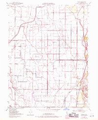
1951 Map of Glenn
USGS Topo · Published 1970About this map
The Sacramento River forms the vital eastern boundary of this agricultural landscape, where levee systems and an intricate network of irrigation ditches like the Main canal support the valley's productivity. The map highlights the historic Jacinto area and the Larkins Children's Grant Bdy, reflecting the enduring influence of early California land grants on modern property lines. Small clusters of rural life are centered around Jacinto Grange, Bayliss, and Sidds Landing, while the presence of several Gas Wells in the northwest suggests the region's diverse economic activities beyond farming.
Find a feature on this map
29 named features on this map. Tap any name to fly to it.
Don’t see what you’re looking for? This feature index may not catch every label — zoom into the map to look around manually.
Map Details
Editions of this 1951 Glenn Map
3 editions found
Other maps of this area

1888 · Marysville
USGS Topo · 1:125,000

1891 · Chico
USGS Topo · 1:125,000

1891 · Marysville
USGS Topo · 1:125,000

1893 · Chico
USGS Topo · 1:125,000

1894 · Marysville
USGS Topo · 1:125,000

1895 · Marysville
USGS Topo · 1:125,000

1895 · Chico
USGS Topo · 1:125,000

1906 · Maxwell
USGS Topo · 1:62,500

1906 · Willows
USGS Topo · 1:62,500

1912 · Butte City
USGS Topo · 1:31,680