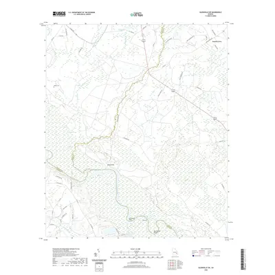
2020 Map of Glennville SW
USGS Topo · Published 2020About this map
The Altamaha River carves a winding path through the borderlands of Long and Wayne counties, defining the southern landscape with its dramatic oxbows and reaches. Named river features like Marrowbone Round, Strickland Bight, and Yankee Reach speak to the deep-seated fluvial culture of this Georgia corridor. To the north, the terrain transitions into a complex of wetlands and tributaries including Beards Creek, Delbos Bay, and Vinzant Swamp. This 2020 survey documents a largely rural and hydrographic environment where the natural drainage patterns of Mushmelon Cr and Little Goose Cr dictate the layout of local travel. For the family historian, Padgett Cem and family-named roads like L J Anderson Rd and Jack Jackson Rd provide anchor points for tracing ancestral landholdings and community roots in the vicinity of Beards Bluff.
Find a feature on this map
57 named features on this map. Tap any name to fly to it.
Don’t see what you’re looking for? This feature index may not catch every label — zoom into the map to look around manually.
Map Details
Editions of this 2020 Glennville SW Map
This is the sole edition of this map. No revisions or reprints were ever made.
Other maps of this area

1918 · Jesup
USGS Topo · 1:62,500

1920 · Glennville
USGS Topo · 1:62,500

1943 · Jesup
USGS Topo · 1:62,500

1944 · Glennville
USGS Topo · 1:62,500

1946 · Brunswick
USGS Topo · 1:250,000

1948 · Brunswick
USGS Topo · 1:250,000

1950 · Glennville
USGS Topo · 1:62,500

1953 · Waycross
USGS Topo · 1:250,000

1956 · Brunswick
USGS Topo · 1:250,000

1958 · Waycross
USGS Topo · 1:250,000