
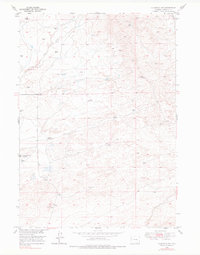
1949 Map of Glenrock NW
USGS Topo · Published 1973About this map
The South Cole Creek Unit (Oil Field) and surrounding energy infrastructure define this late 1940s landscape in Converse County. The map documents an era of petroleum development and ranching, showing a network of access routes like the Badger Coal Mine Road and the Glenrock-Ross Road. While cattle operations such as the Hyland Ranch persist, the ground is increasingly marked by industrial activity, including an Oil Well and a Well (Aban'd).
Find a feature on this map
15 named features on this map. Tap any name to fly to it.
Don’t see what you’re looking for? This feature index may not catch every label — zoom into the map to look around manually.
Map Details
Editions of this 1949 Glenrock NW Map
2 editions found
Other maps of this area

1949 · Campbell Hill
USGS Topo · 1:24,000

1949 · Parkerton
USGS Topo · 1:24,000

1949 · Glenrock
USGS Topo · 1:24,000

1949 · Hylton Ranch
USGS Topo · 1:24,000

1950 · Campbell Hill
USGS Topo · 1:24,000

1950 · Lockett
USGS Topo · 1:24,000

1950 · Parkerton
USGS Topo · 1:24,000

1950 · Glenrock NW
USGS Topo · 1:24,000

1950 · Glenrock
USGS Topo · 1:24,000
1950 · Hylton Ranch
USGS Topo · 1:24,000