
1897 Map of Glens Falls
USGS Topo · Published 1897About this map
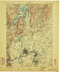
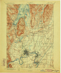
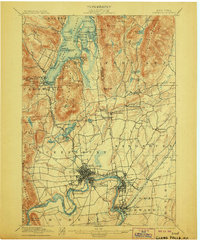
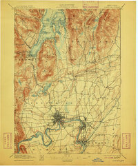
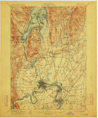
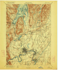
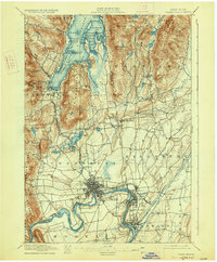
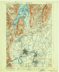
Fort Wm. Henry Ruins and Fort George Ruins anchor the southern tip of Lake George, marking a landscape deeply shaped by 18th-century military history. This late 19th-century topography captures the industrial transition of the upper Hudson River valley, where the established center of Glens Falls and South Glens Falls serves as a hub for the surrounding mill economy. The map reveals a complex network of transportation, from the established Steamboat Route on the lake to the Delaware and Hudson RR and Champlain and Saratoga RR lines that connect the valley to broader markets.
Find a feature on this map
97 named features on this map. Tap any name to fly to it.
Don’t see what you’re looking for? This feature index may not catch every label — zoom into the map to look around manually.
Map Details
Editions of this 1897 Glens Falls Map
9 editions found
Other maps of this area

1893 · Fort Ann
USGS Topo · 1:62,500

1893 · Whitehall
USGS Topo · 1:62,500

1895 · Whitehall
USGS Topo · 1:62,500

1895 · North Creek
USGS Topo · 1:62,500

1895 · Cambridge
USGS Topo · 1:62,500

1895 · Fort Ann
USGS Topo · 1:62,500

1895 · Glens Falls
USGS Topo · 1:62,500

1897 · Bolton
USGS Topo · 1:62,500

1897 · North Creek
USGS Topo · 1:62,500

1898 · Whitehall
USGS Topo · 1:62,500