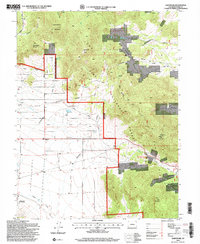
1994 Map of Glentivar
USGS Topo · Published 1998About this map
Glentivar (Site) marks the location of a former settlement in the high country of Park County, situated within a landscape defined by the Pike National Forest and the peaks of the Front Range. The terrain is punctuated by significant elevations including Schoolmarm Mountain, Martland Peak, and Badger Mountain, while water sources like Rishaberger Spring and Turner Gulch provide the lifeblood for this high-altitude environment.
Find a feature on this map
23 named features on this map. Tap any name to fly to it.
Don’t see what you’re looking for? This feature index may not catch every label — zoom into the map to look around manually.
Map Details
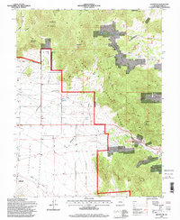
Editions of this 1994 Glentivar Map
2 editions found
Other maps of this area

1893 · Platte Canyon
USGS Topo · 1:125,000

1894 · Pikes Peak
USGS Topo · 1:125,000

1901 · Pikes Peak
USGS Topo · 1:125,000

1953 · Denver
USGS Topo · 1:250,000

1954 · Pueblo
USGS Topo · 1:250,000

1956 · Eagle Rock
USGS Topo · 1:24,000

1956 · Mc Curdy Mountain
USGS Topo · 1:24,000

1956 · Tarryall
USGS Topo · 1:24,000

1956 · Sulphur Mountain
USGS Topo · 1:24,000

1956 · Elevenmile Canyon
USGS Topo · 1:24,000