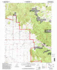
1994 Map of Glentivar
USGS Topo · Published 1998About this map
Glentivar marks a quiet point in the high Park County landscape, where the open meadows of the south meet the rising timber of the Puma Hills and Pike National Forest. This 1990s revision captures a transition in land use, showing the intersection of ranching history and modern recreation near the Wilkerson Pass Visitor Center. The terrain is defined by dramatic elevations including Maitland Peak and Schoelmann Mountain, while the southern reaches touch the edge of Spinney Mtn State Park.
Find a feature on this map
30 named features on this map. Tap any name to fly to it.
Don’t see what you’re looking for? This feature index may not catch every label — zoom into the map to look around manually.
Map Details
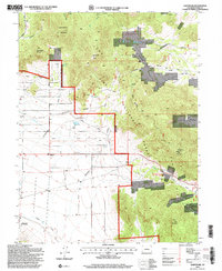
Editions of this 1994 Glentivar Map
2 editions found
Other maps of this area

1893 · Platte Canyon
USGS Topo · 1:125,000

1894 · Pikes Peak
USGS Topo · 1:125,000

1901 · Pikes Peak
USGS Topo · 1:125,000

1953 · Denver
USGS Topo · 1:250,000

1954 · Pueblo
USGS Topo · 1:250,000

1956 · Eagle Rock
USGS Topo · 1:24,000

1956 · Mc Curdy Mountain
USGS Topo · 1:24,000

1956 · Tarryall
USGS Topo · 1:24,000

1956 · Sulphur Mountain
USGS Topo · 1:24,000

1956 · Elevenmile Canyon
USGS Topo · 1:24,000